Updated 20th April 2020
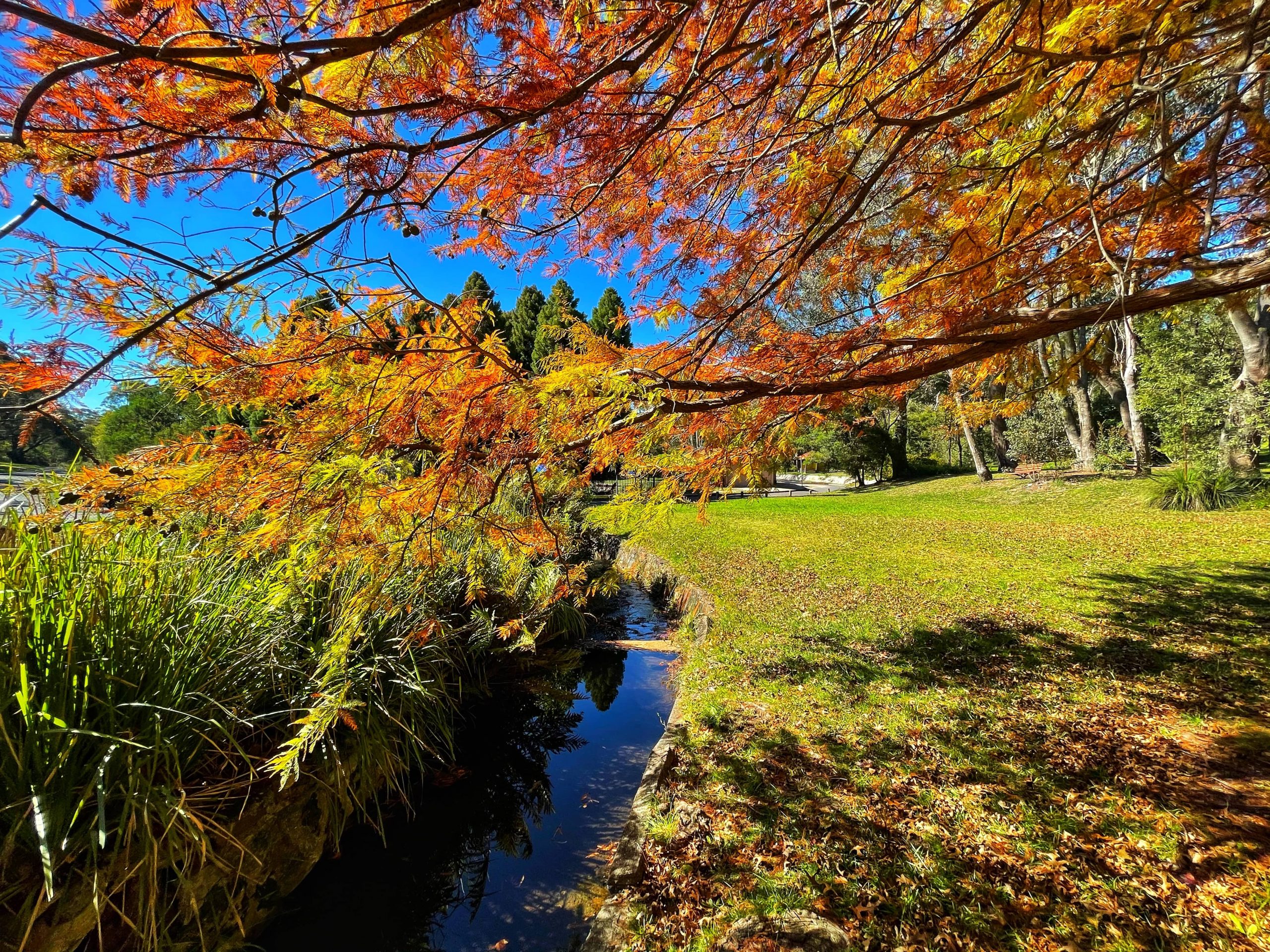
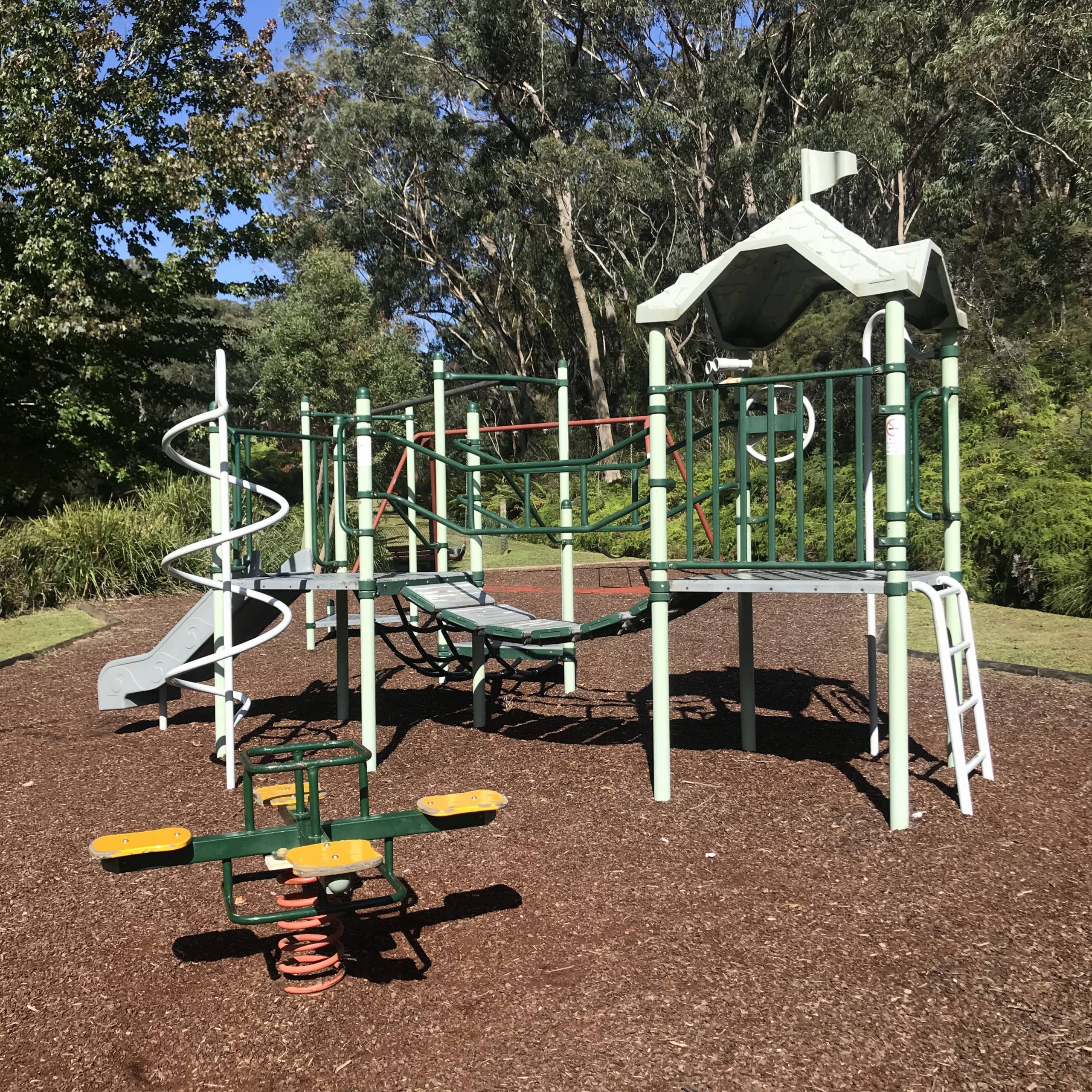
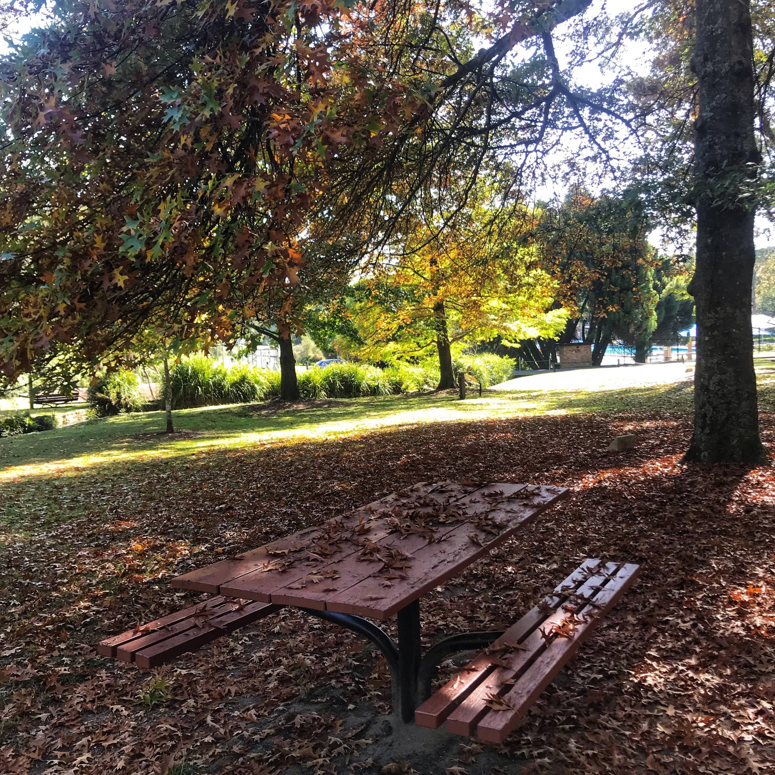
Wilson Park is the home to Lawson Pool and the historic Map of Australia. It also offers a wonderful picnic area and an adjoining playground.
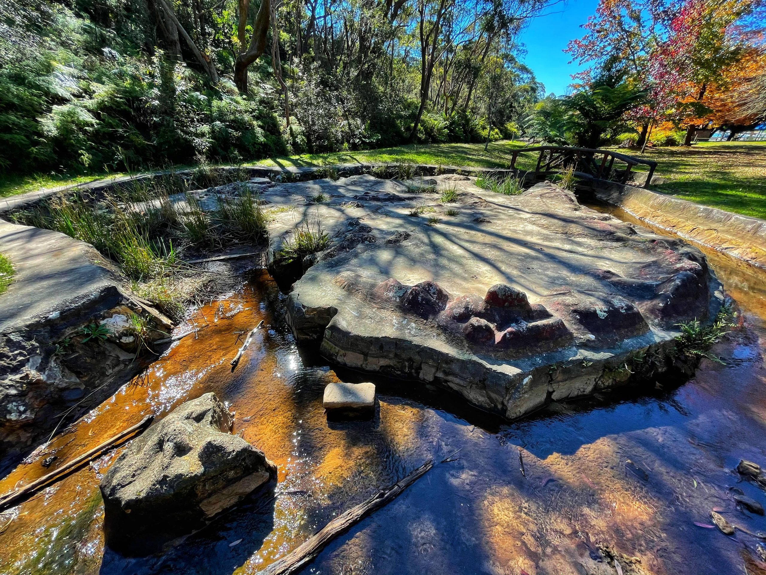
Map of Australia Lawson
Wilson Park is bounded by St Bernards Drive, Evans Street and Park Road, North Lawson. Here: https://w3w.co/bumpy.names.figs
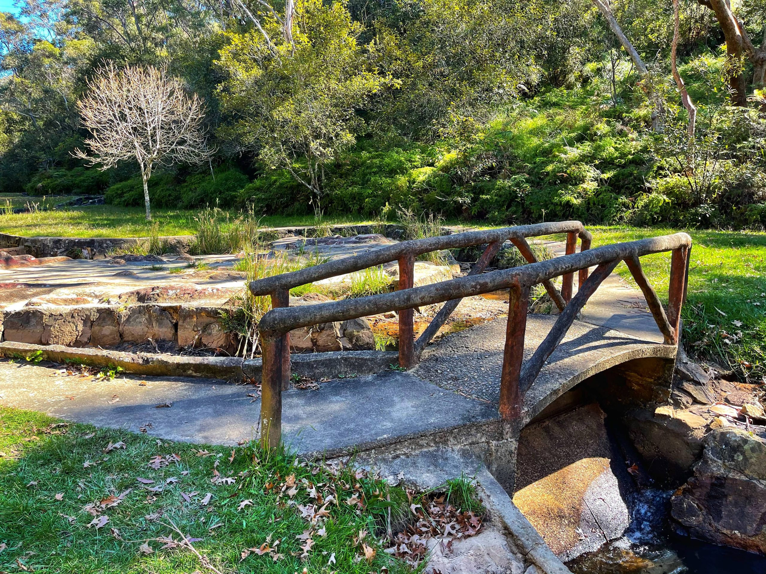
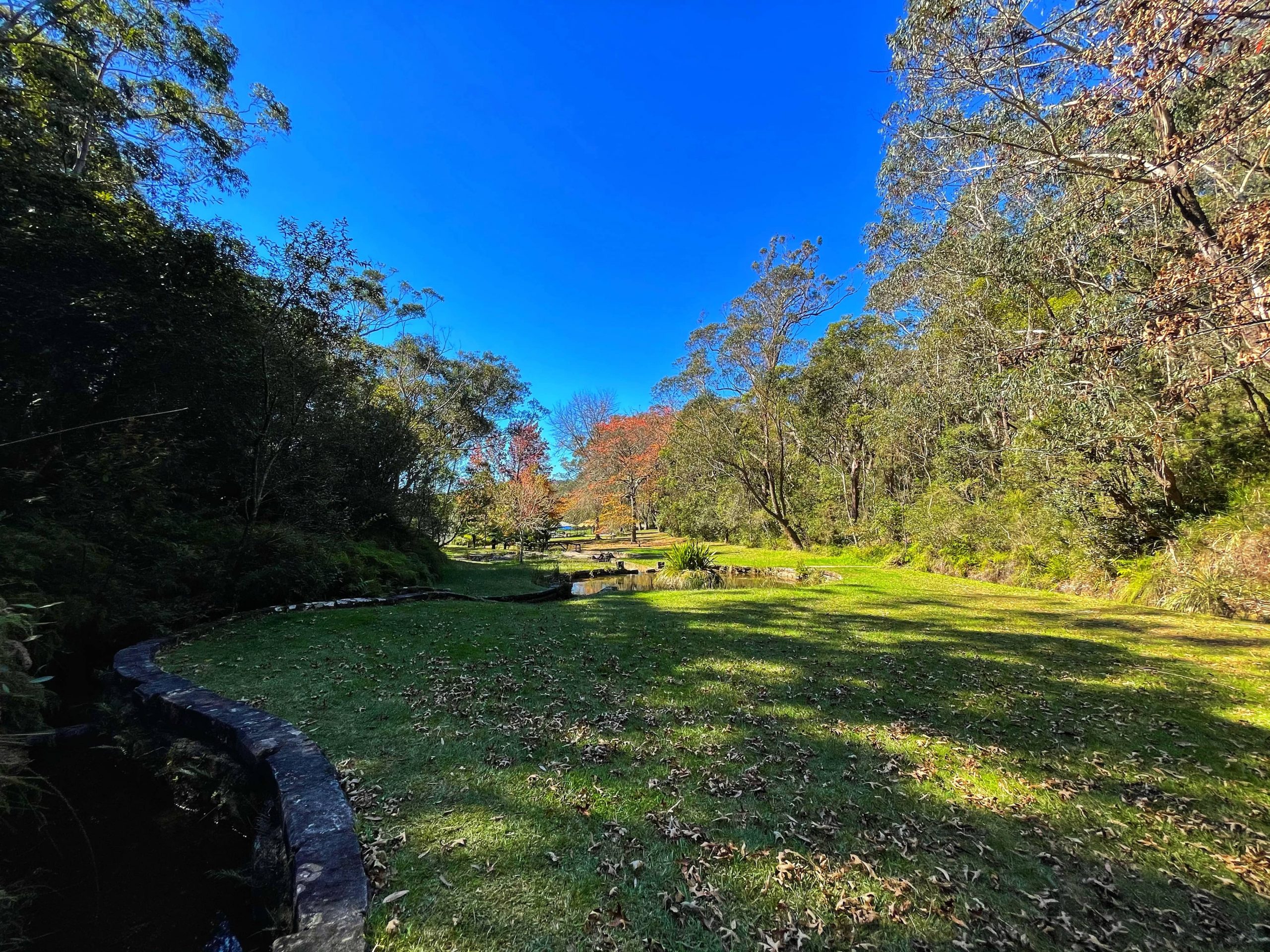
It was named after Percy Wilson (1867-1937), Councillor of Blue Mountains Shire Council 1920-1937 and publisher of the Mountaineer Illustrated Tourists’ Guide to the Blue Mountains. A spring-fed Fairy Falls Creek flows through the park and was used to supply water for the steam trains from a dam built across the creek in the early 1870s. In 1915, the area was leased for recreation purposes.
It was gazetted a reserve for Public Recreation on 5 August 1932.
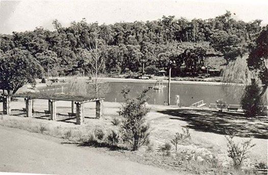
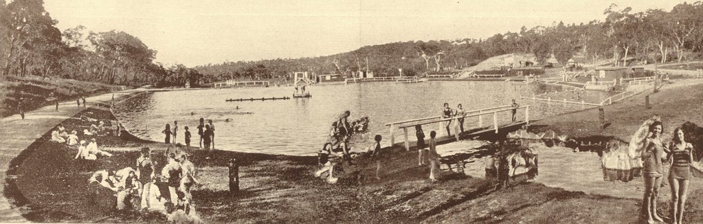
Within this park is the Lawson Swimming Pool, which was opened November 1931 and a concrete relief map of Australia constructed in May 1932.
Ref: Sydney Morning Herald, 23 November 1931, p. 6 records, “swimming pool in the centre of 50 acres of Wilson Park.” Also known as Snake Gully. K 614 661.
HISTORY OF THE MAP
Nepean Times 21st May 1932
mapofaustralialawson.blogspot.com/p/blog-page_11.html
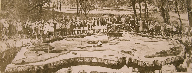
The photo above was taken on the opening day in 1932. A path from Stratford Girls School led directly there.
The map of Australia water feature is the only one of its kind in the country. The map dates back to 1932, when it was built by a local man, Frank Higgison. Mr Higgison carved his work out of a natural rock outcrop, making it to scale, with one inch on the map (2.5 centimetres) equalling 6.5 actual miles (10.4 kilometres).
Frank Higgison lived at 35 Allen Street, Lawson, and sadly died on the Sandakan Death. https://www.awm.gov.au/collection/R1690296
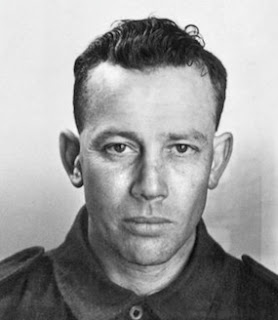
Frank Higgison
He used concrete to form the contours, marked all of the capital cities, state boundaries and major mountain ranges, and painted his work according to colours used in school atlases at the time: green for sea level, grey for 500 feet, chrome for 1000 feet and so on.
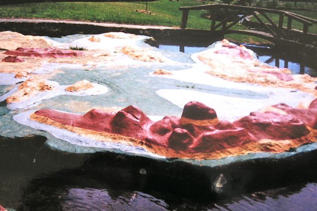
Map of Australia in the 1950s
The map was again restored in 2016 by Blue Mountains City Council. https://www.bluemountainsgazette.com.au/story/3485918/funds-to-fix-historic-map
MORE history: http://mapofaustralialawson.blogspot.com/p/blog-page_14.html