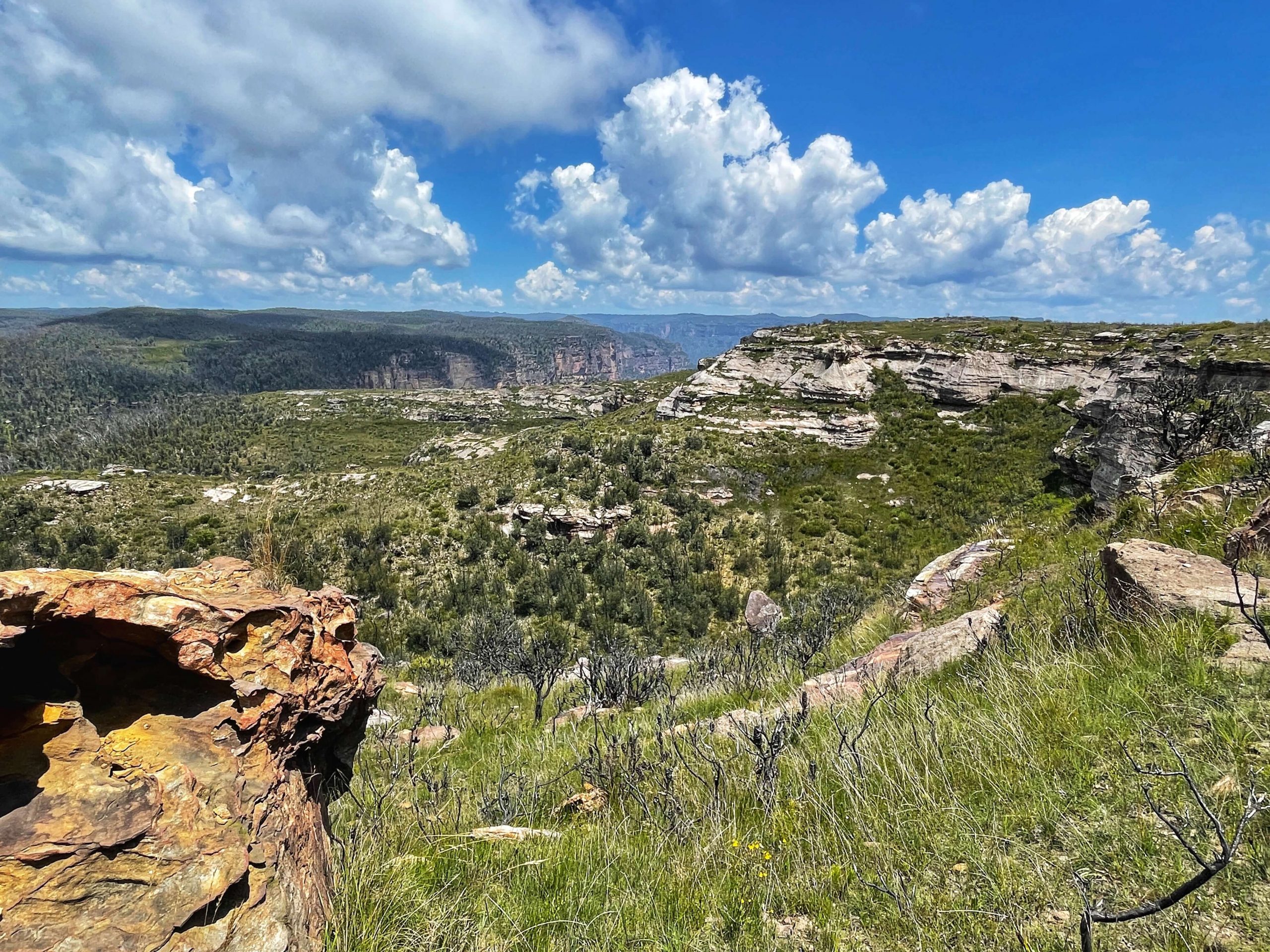
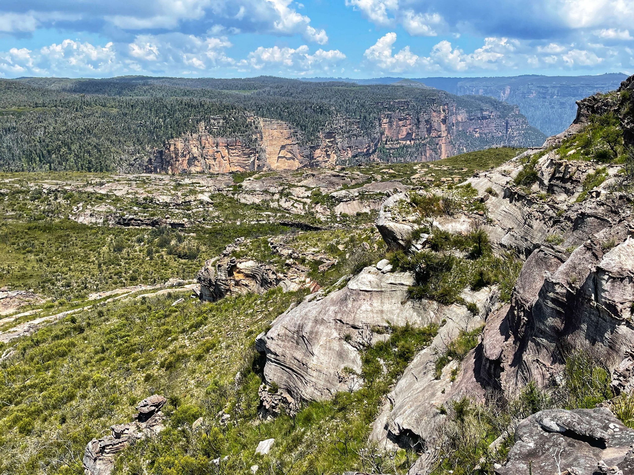
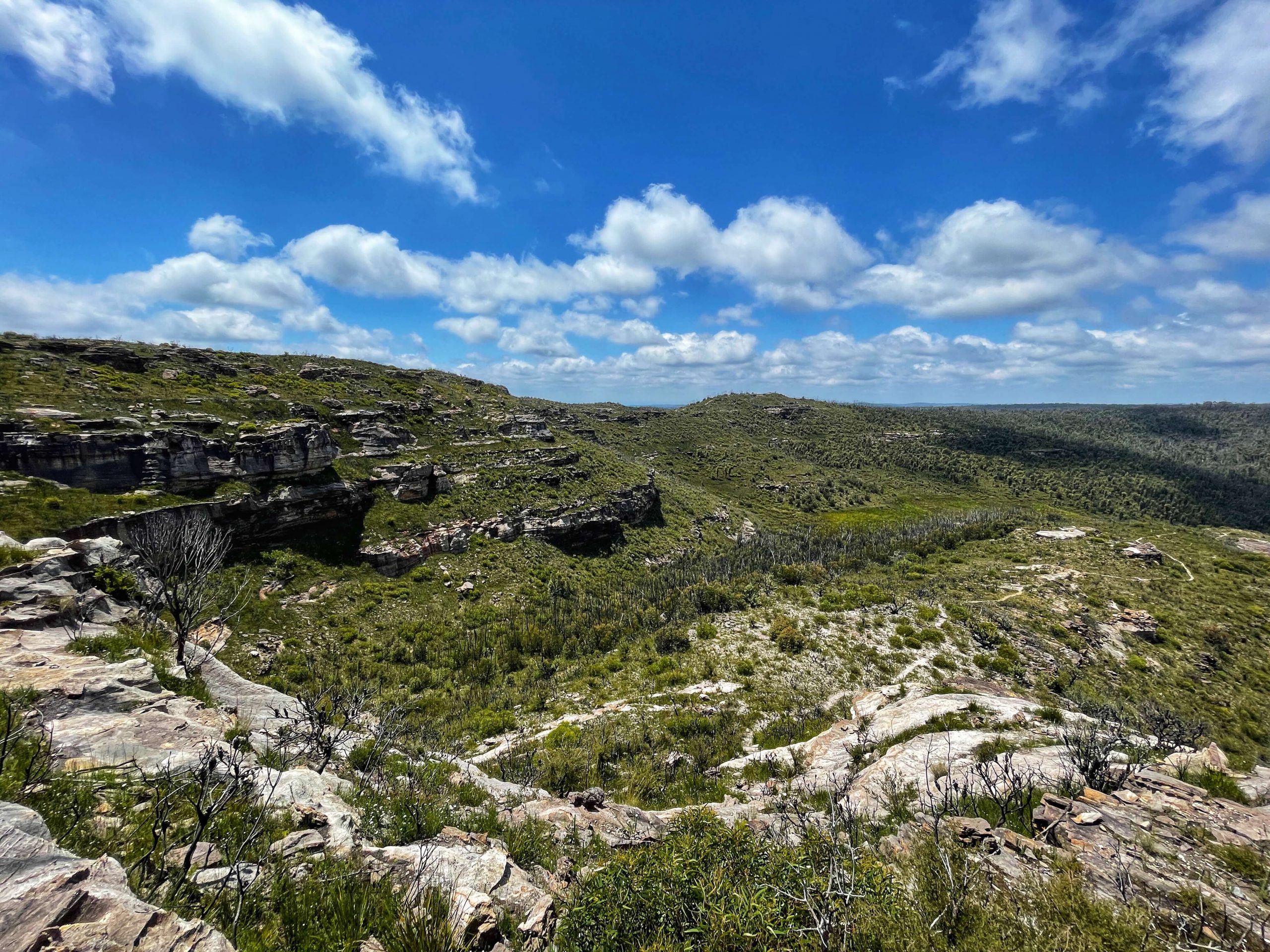
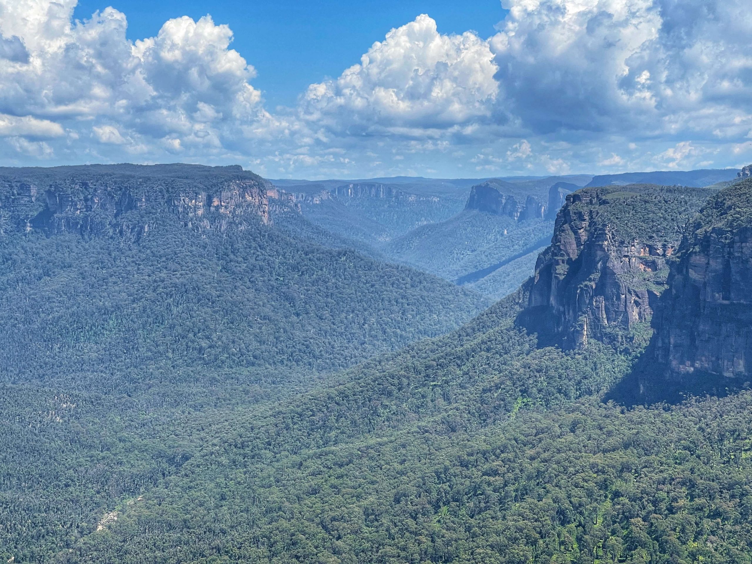
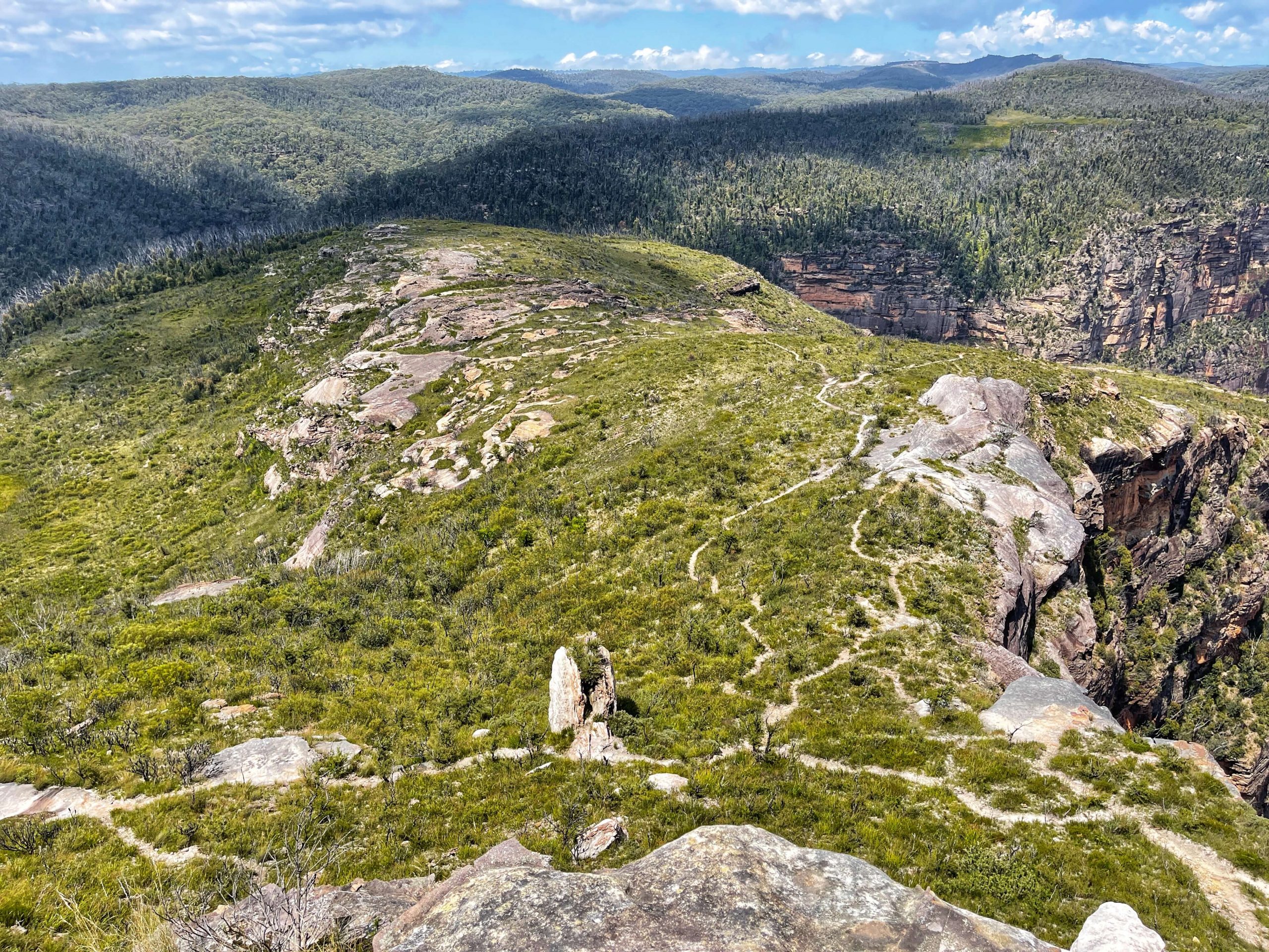
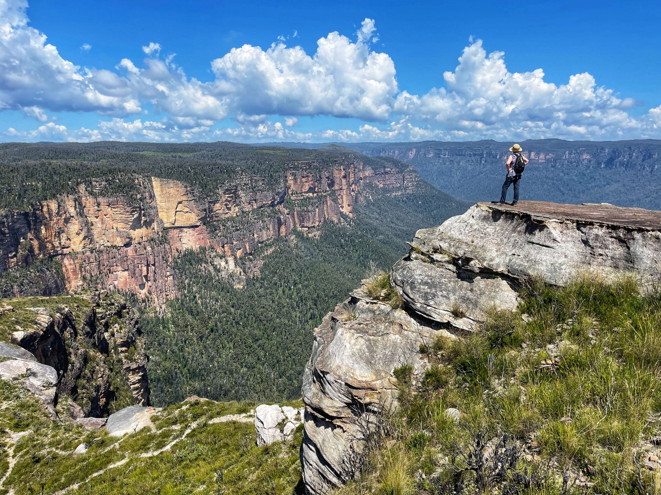
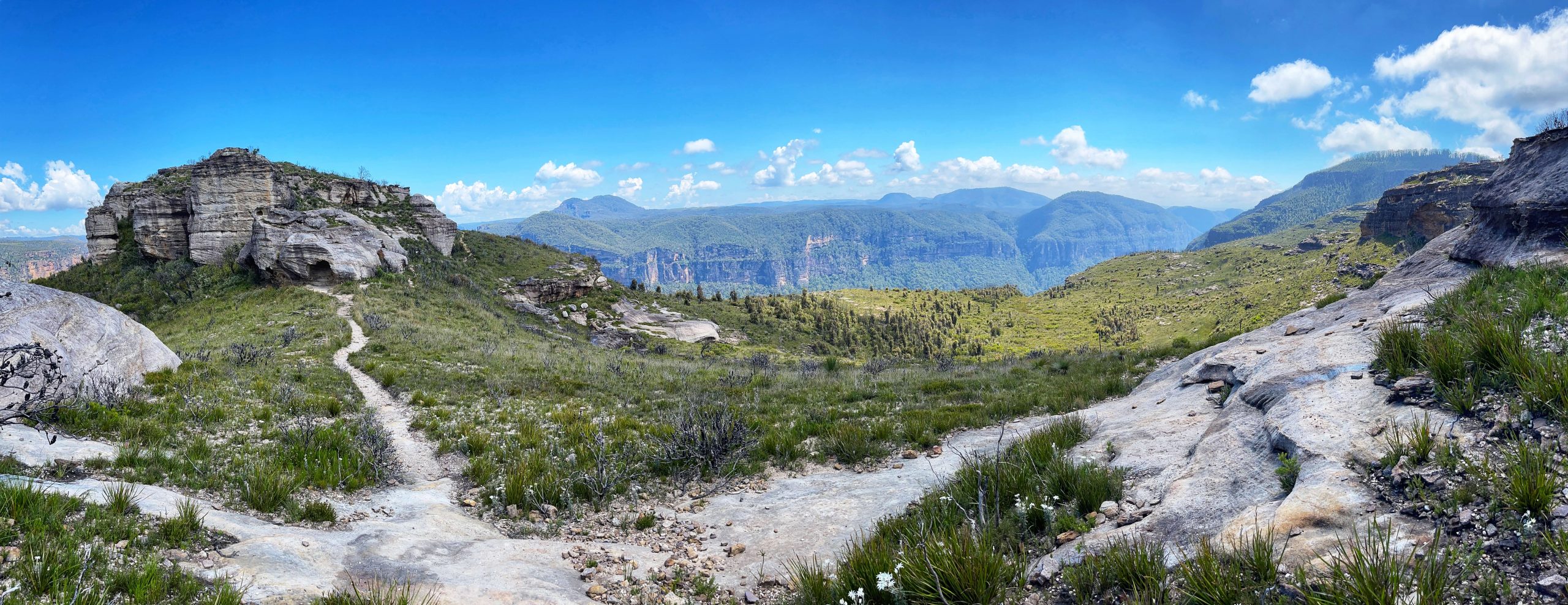
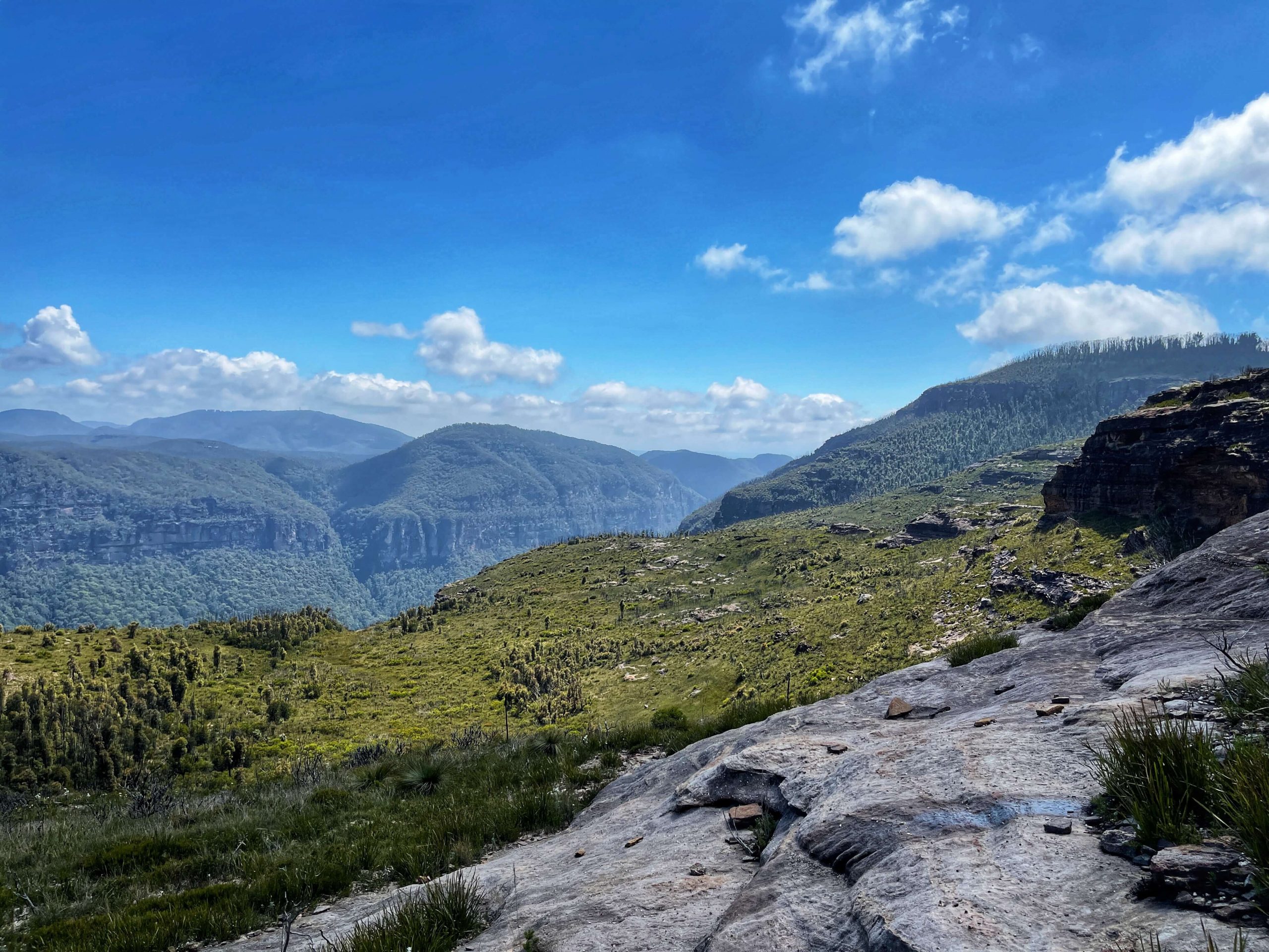
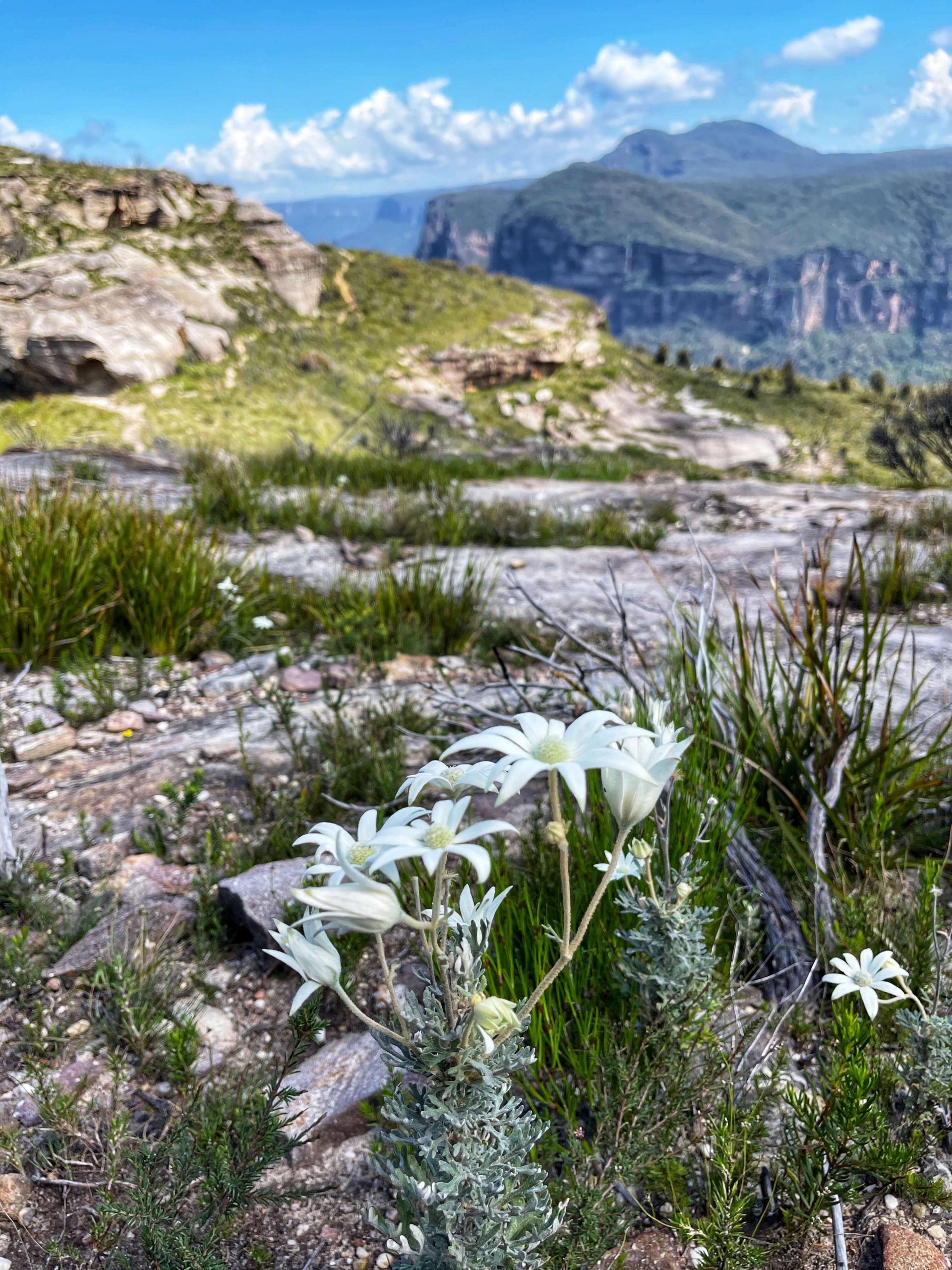
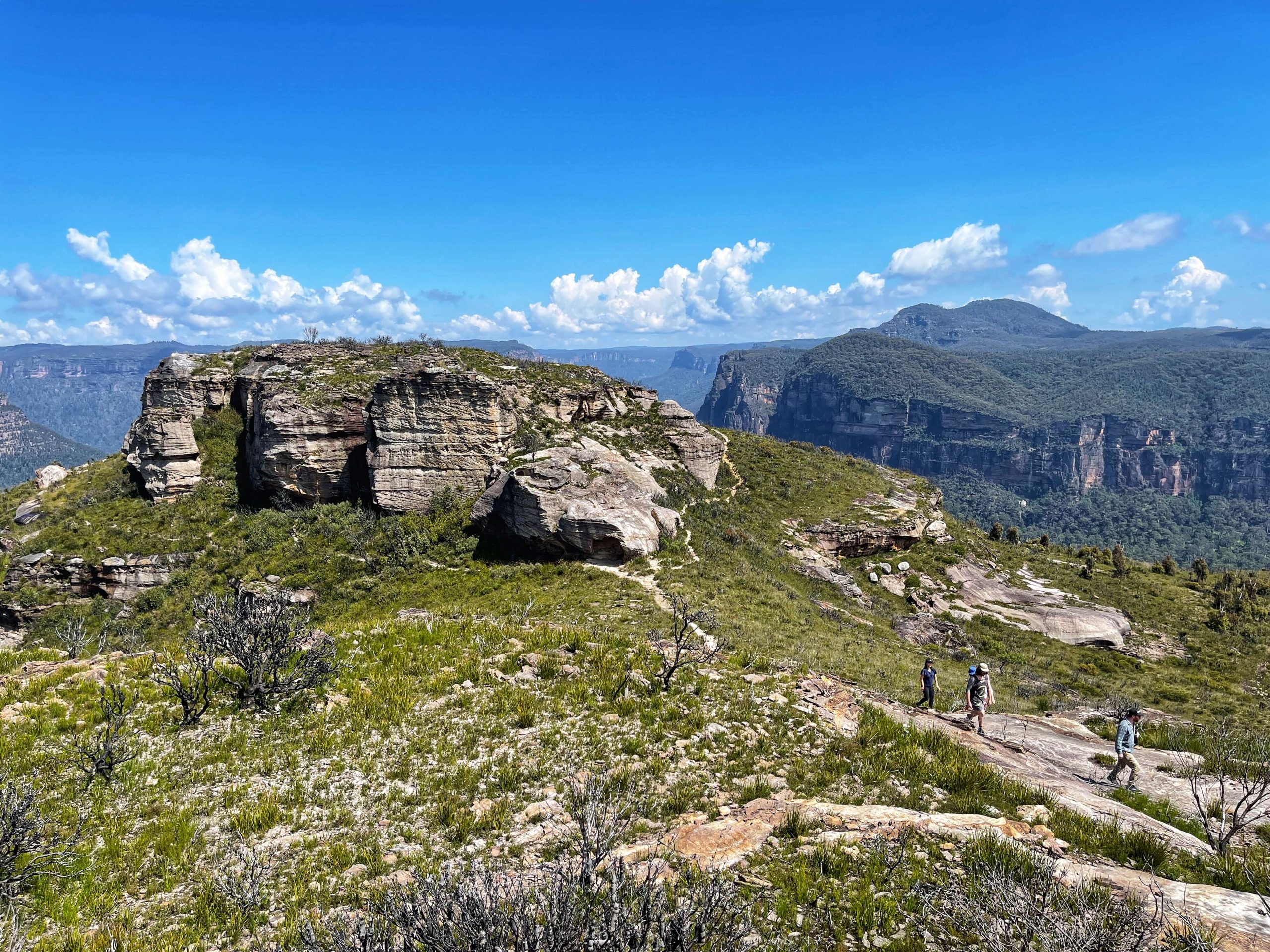
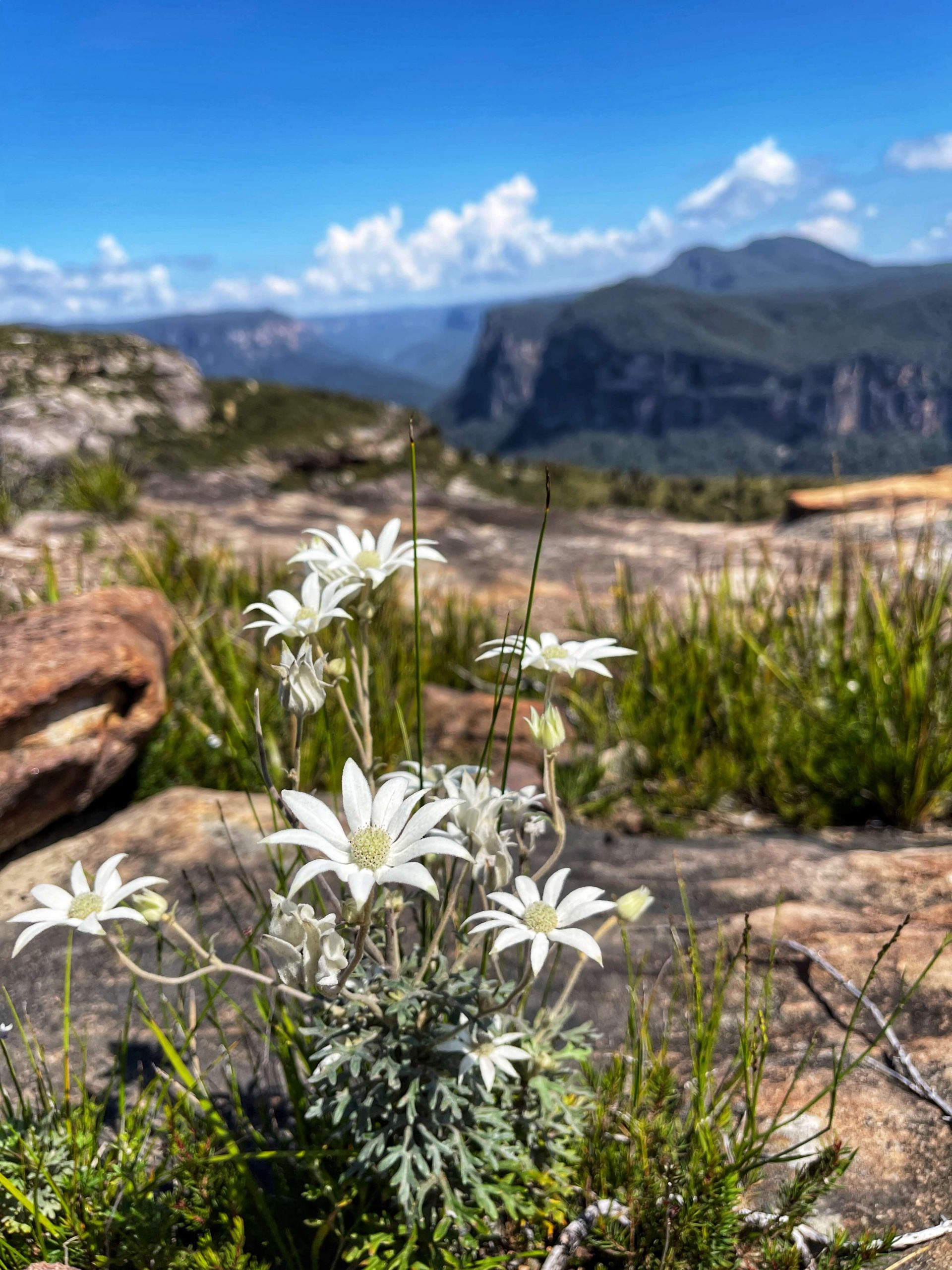
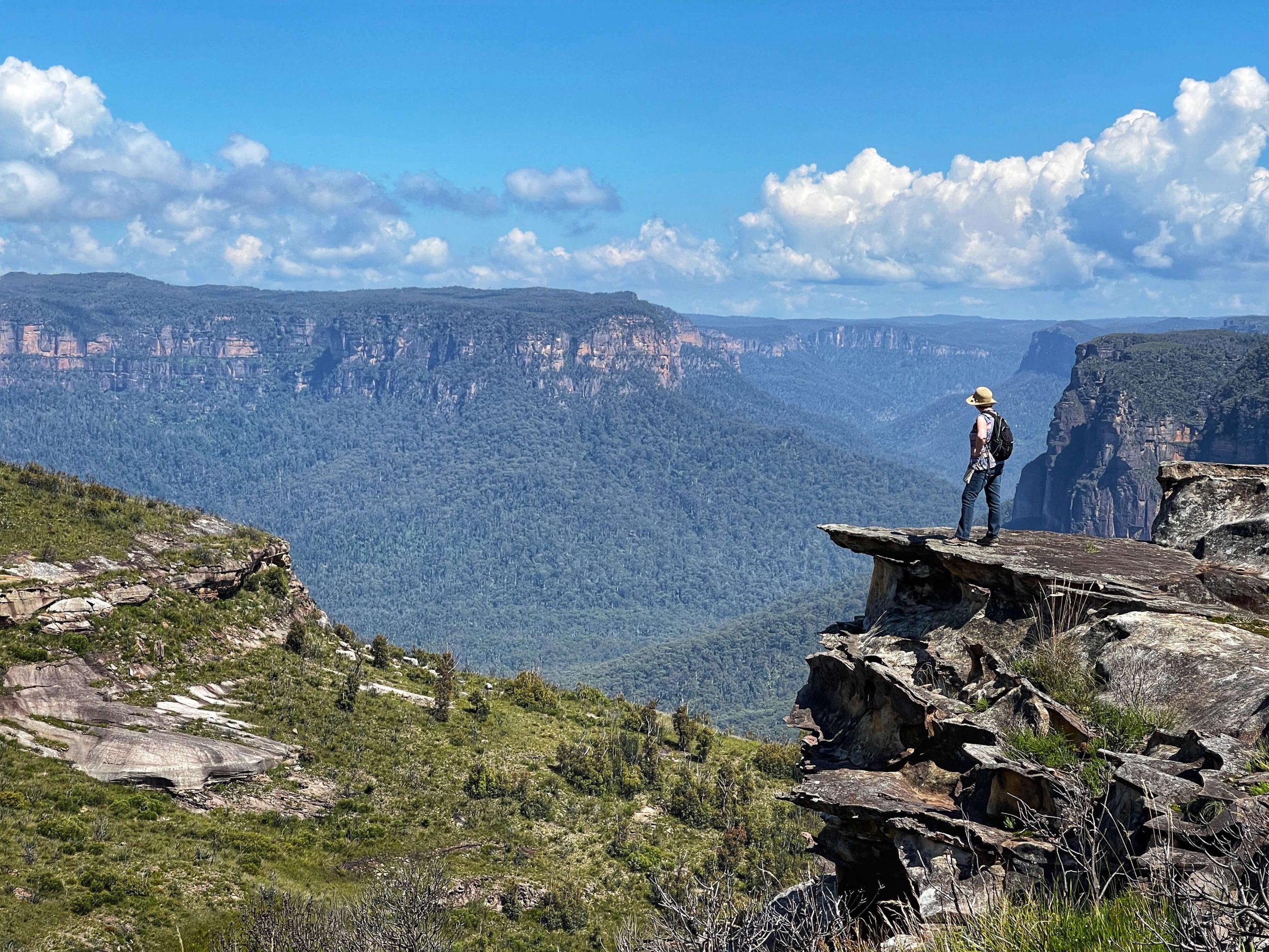
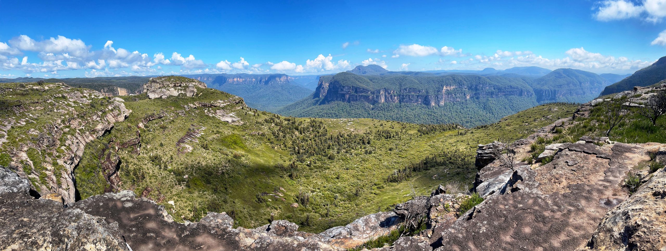
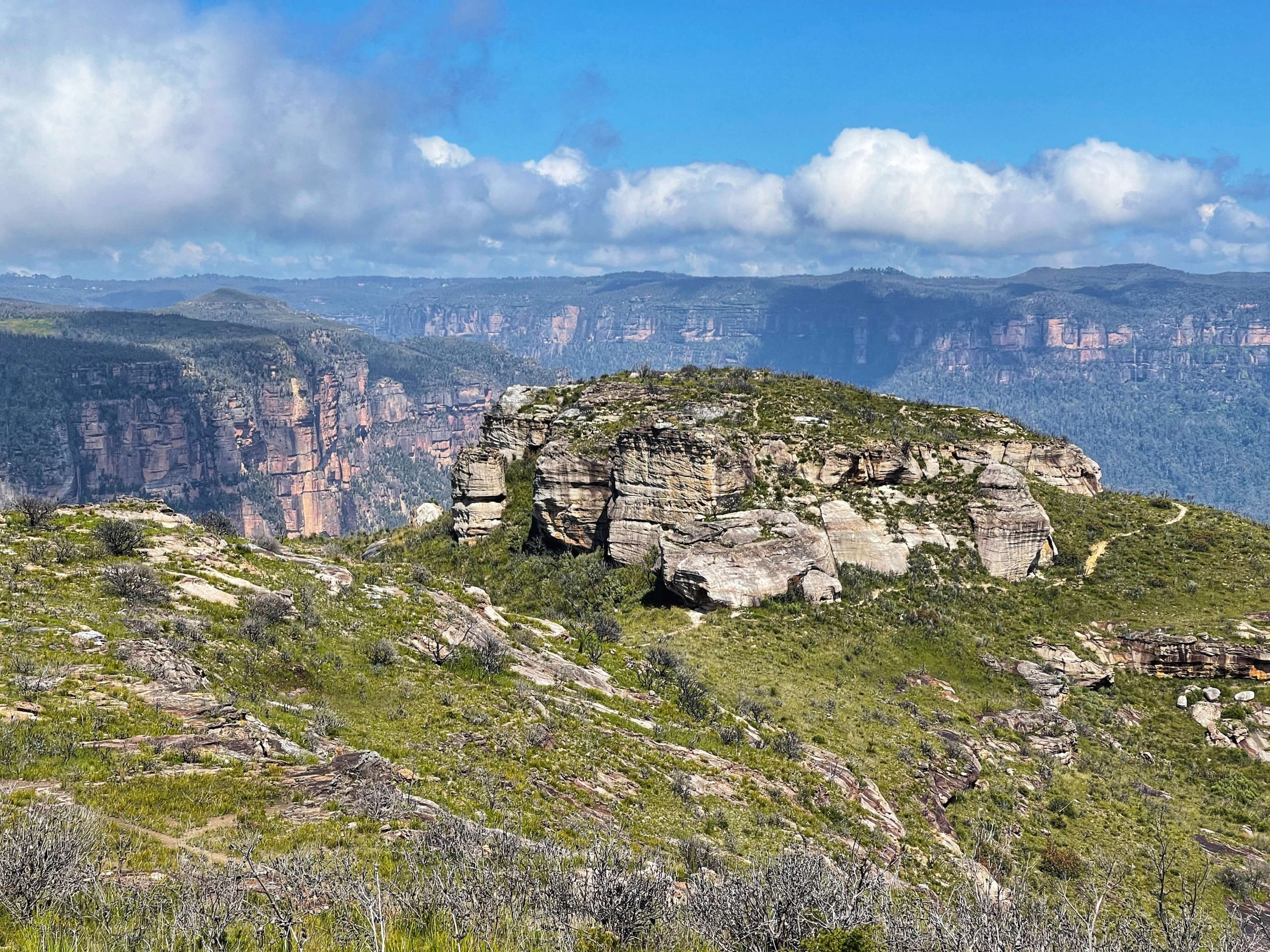
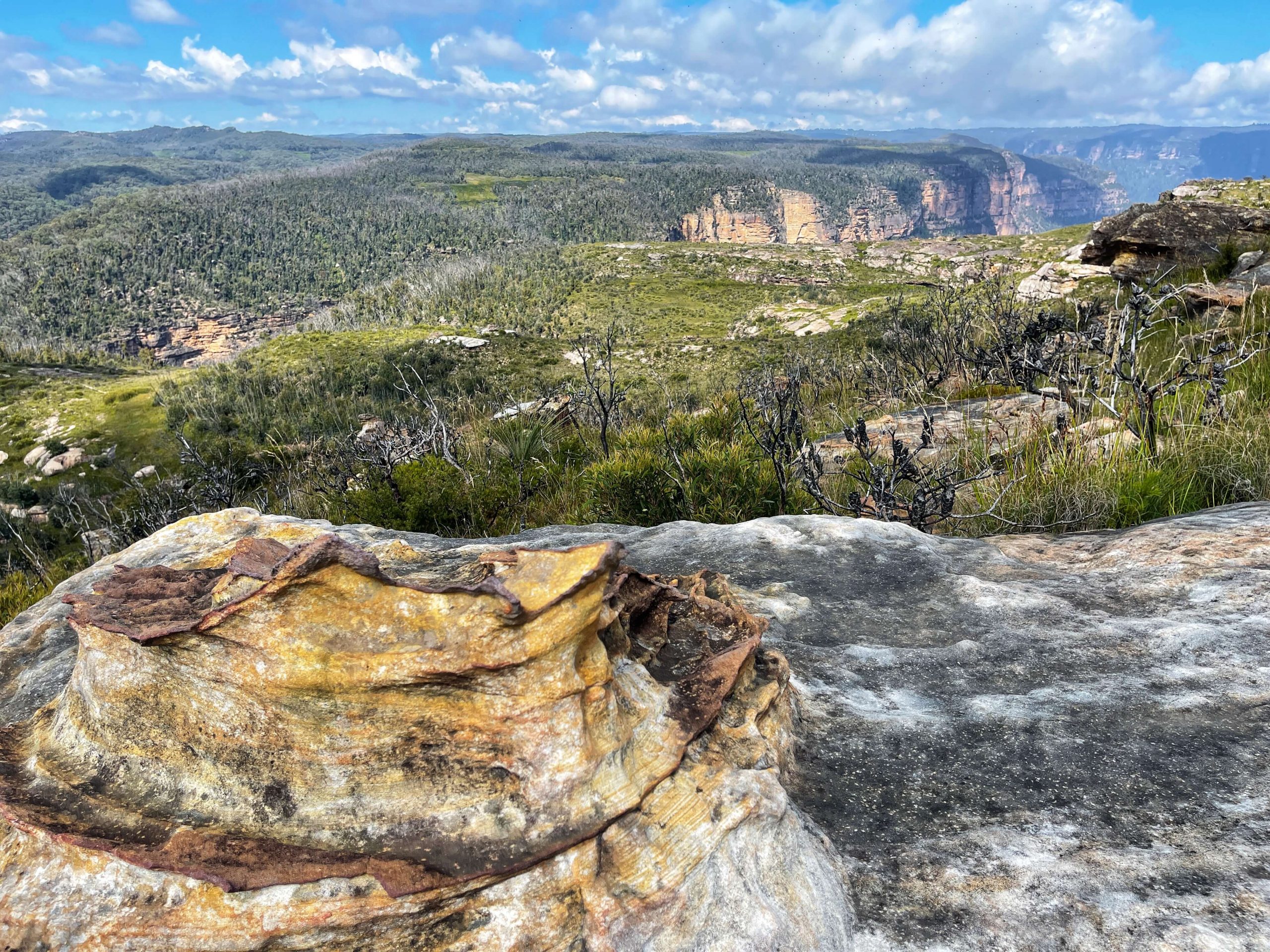
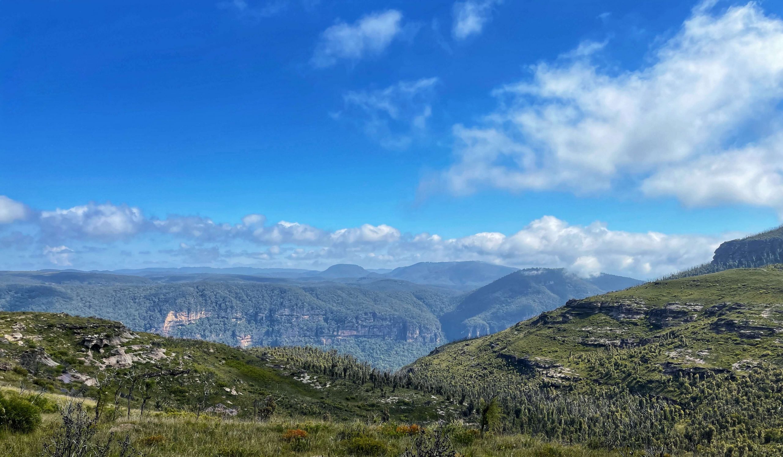
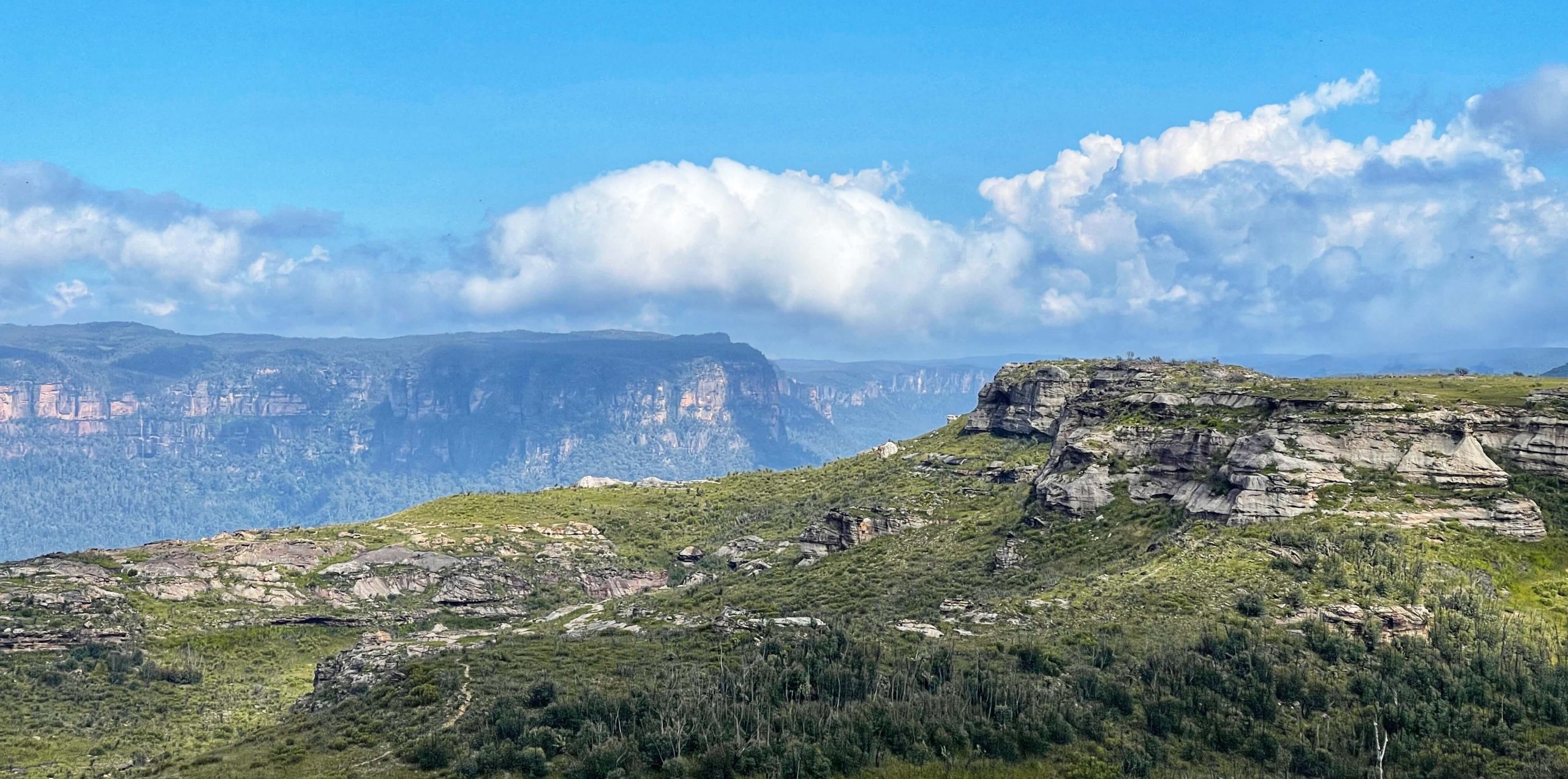
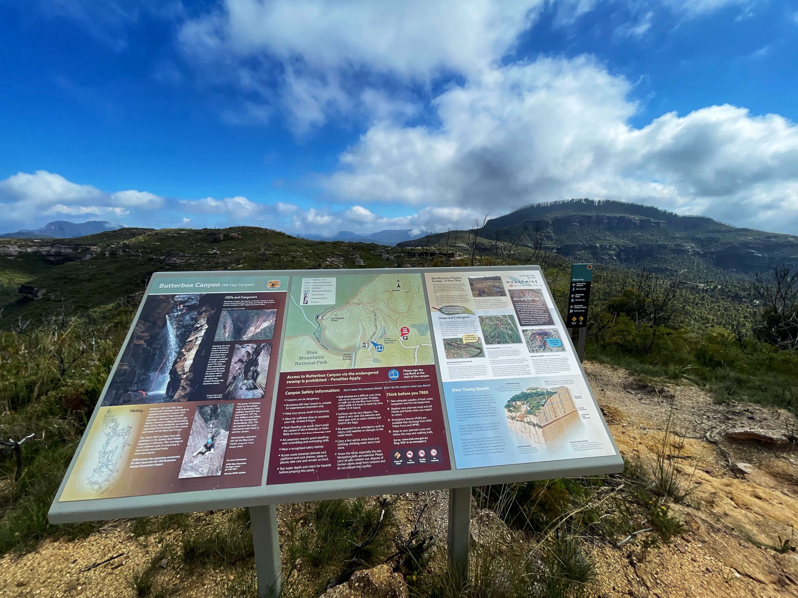
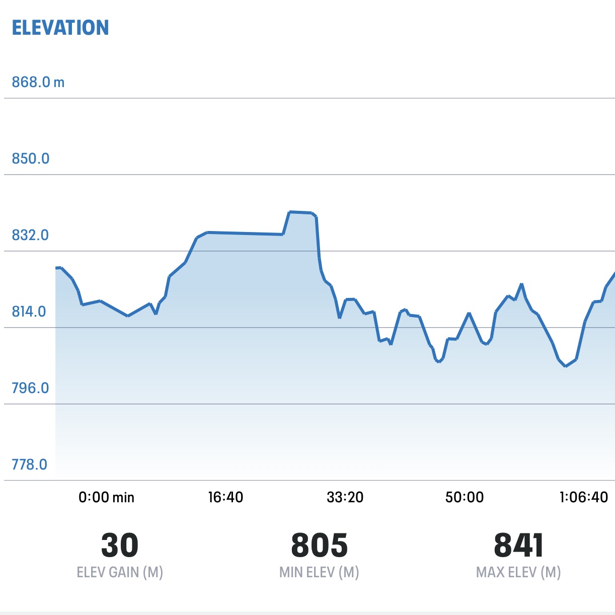
The walk to Butterbox Point is a great walk family that offers outstanding views all the way along the walk. Butterbox Point is a large, high rocky outcrop on the edge of the Grose Gorge, 800m northwest of the northern end of Mount Hay Road, Leura.
WHERE: https://w3w.co/leaper.tabs.brainstorm
Carpark: https://w3w.co/deviations.immorality.risky

Mount Hay
ACCESS: From the Great Western Highway drive 15.5km along Mount Hay Road. The first 1.6km is tar then it’s dirt. The road condition will vary, so drive to the conditions. It’s fine for 2wd cars in normal conditions. Drive to the carpark here: https://w3w.co/leaper.tabs.brainstorm
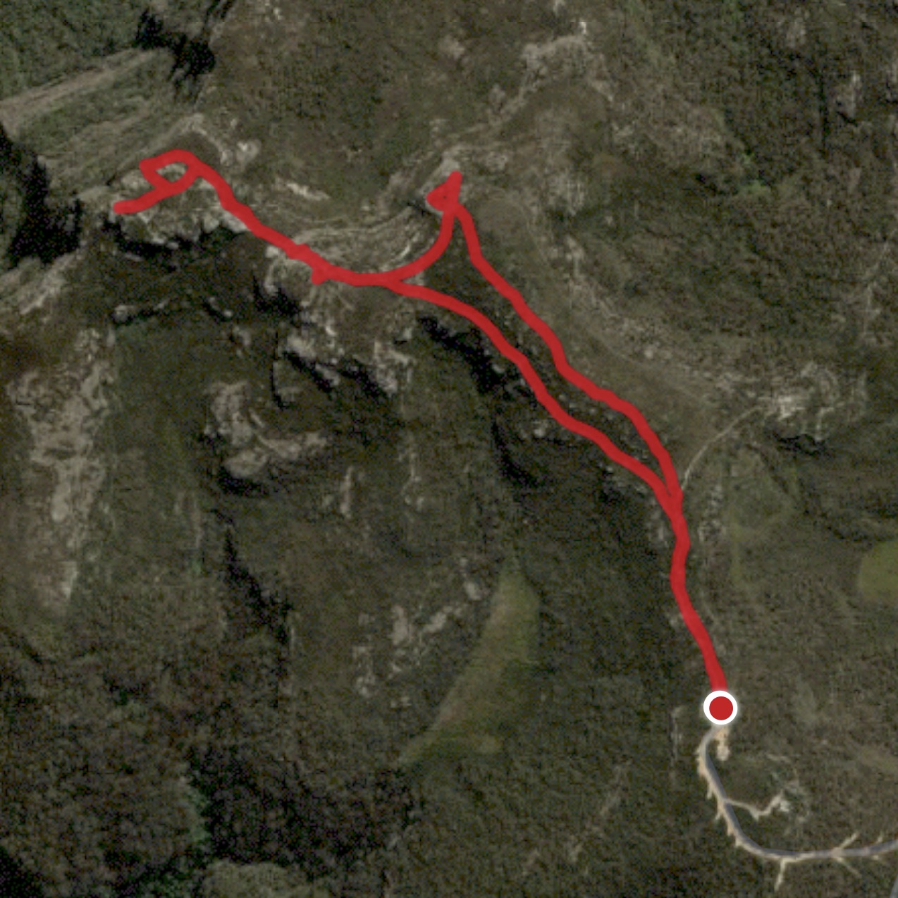
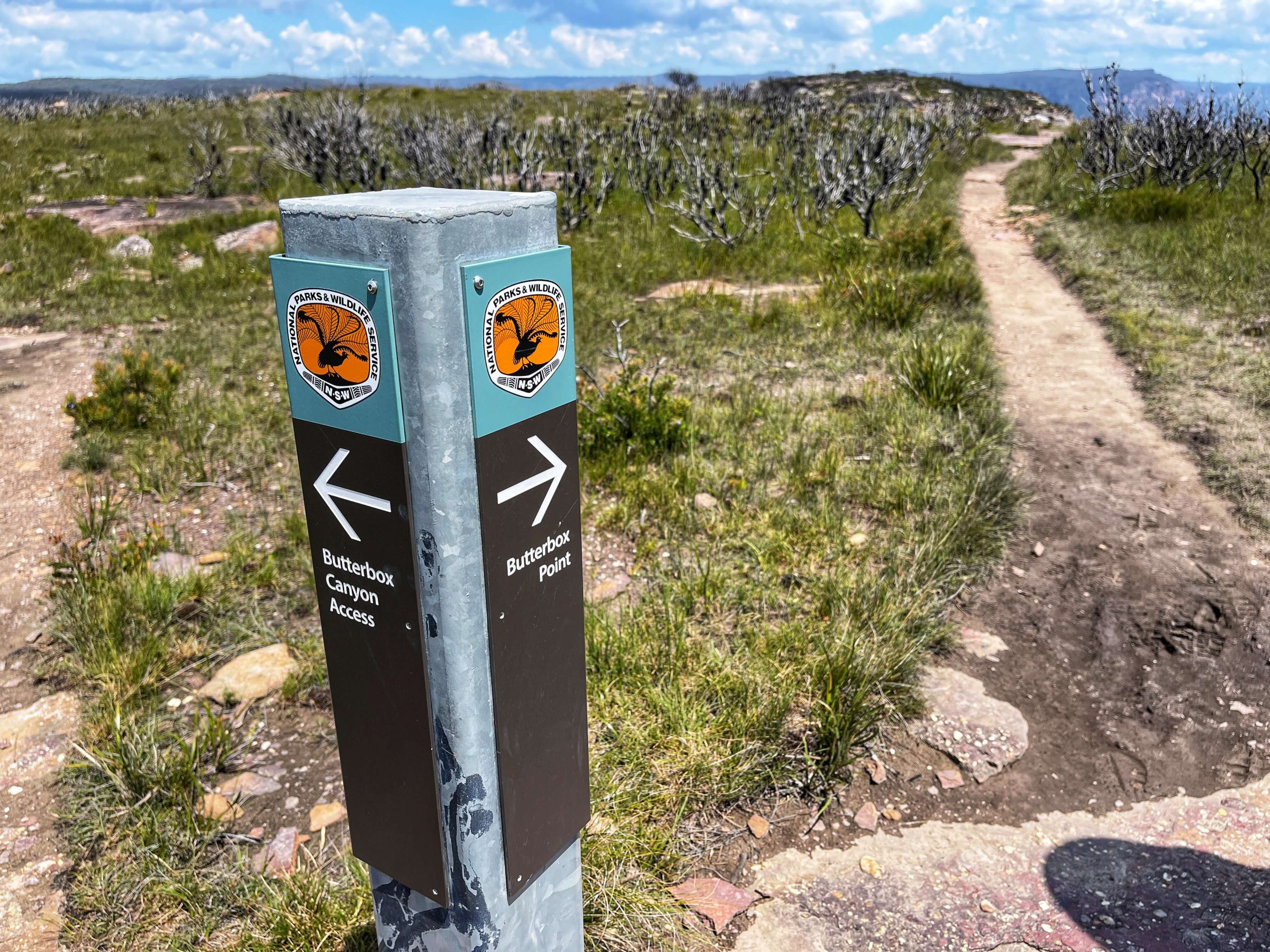
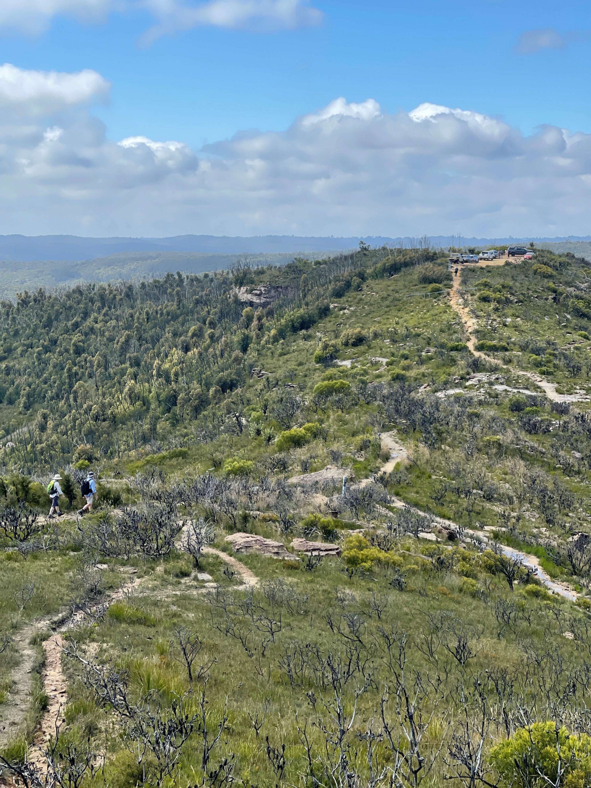
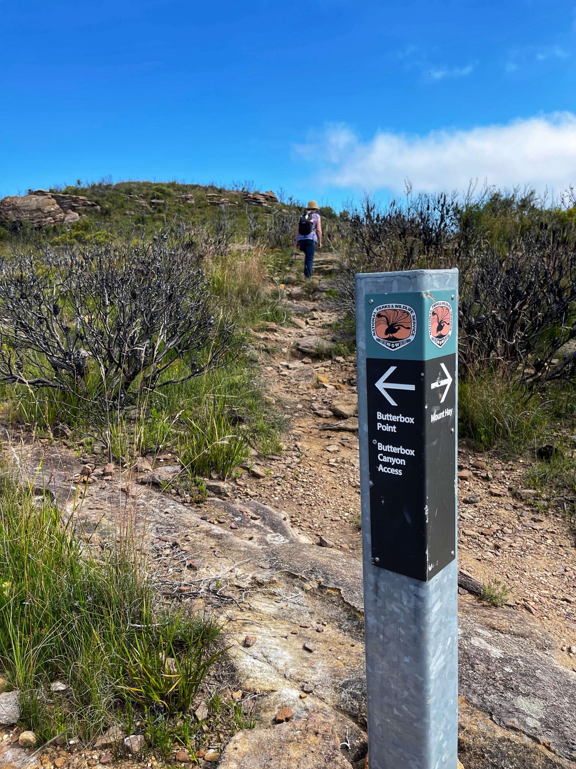
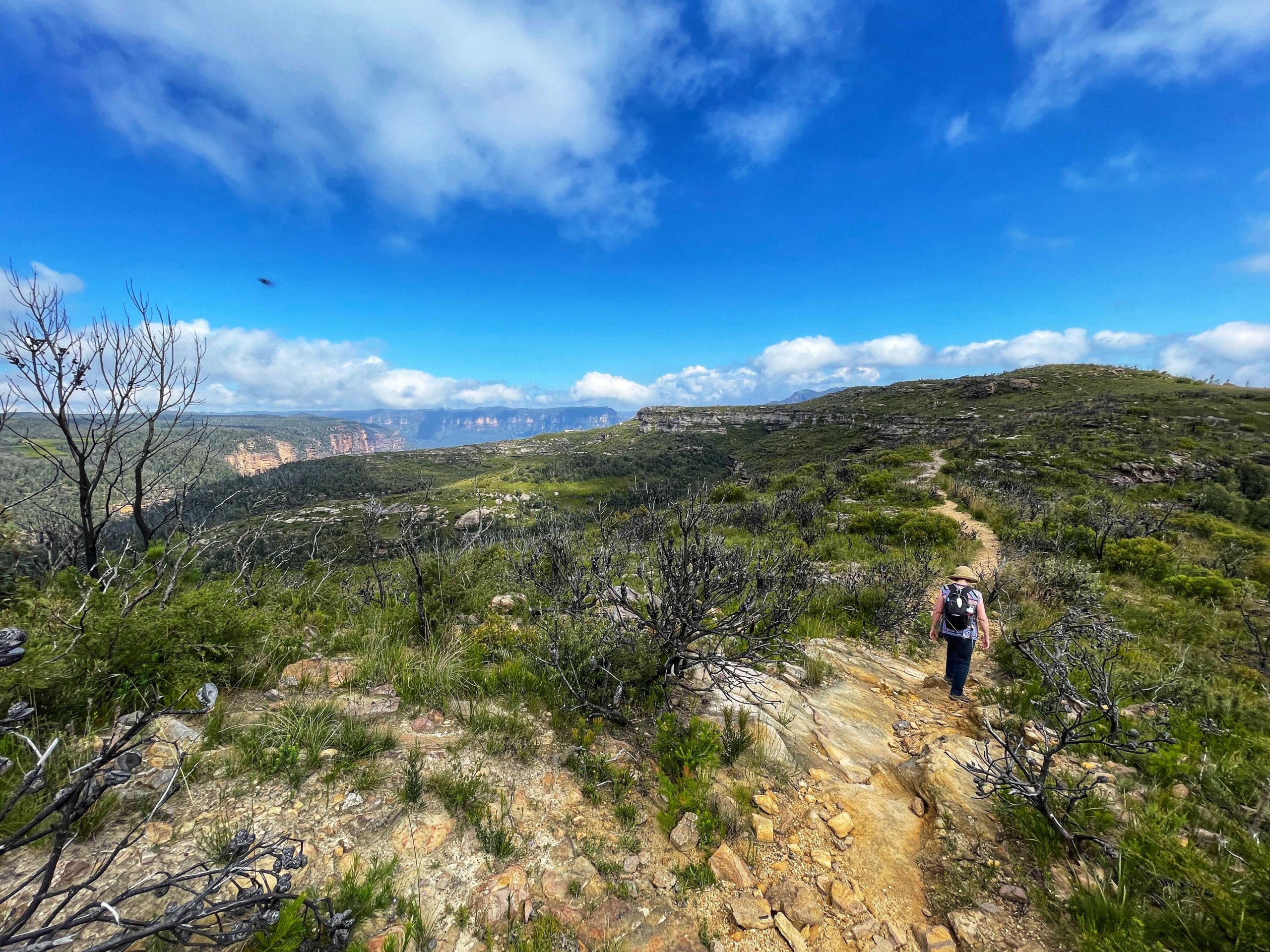
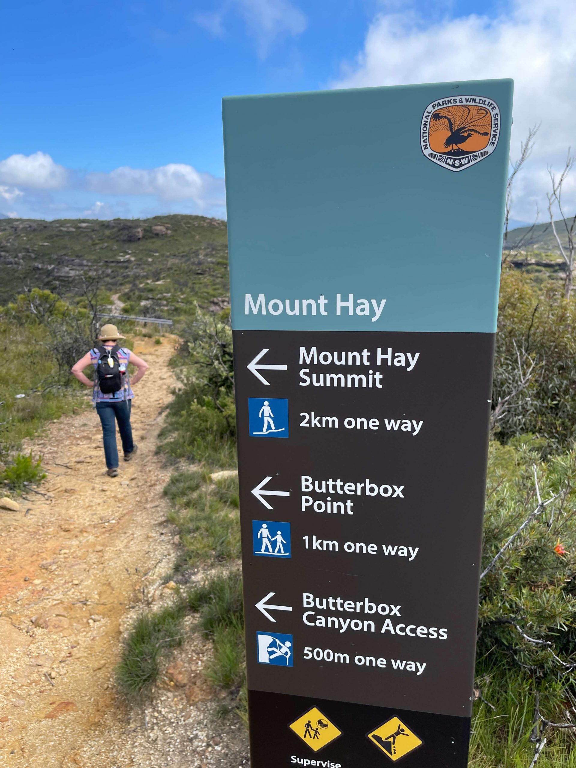
From the carpark, you can head out to Butterbox Point, Mount Hay or if your a canyoner down to Butterbox Canyon.
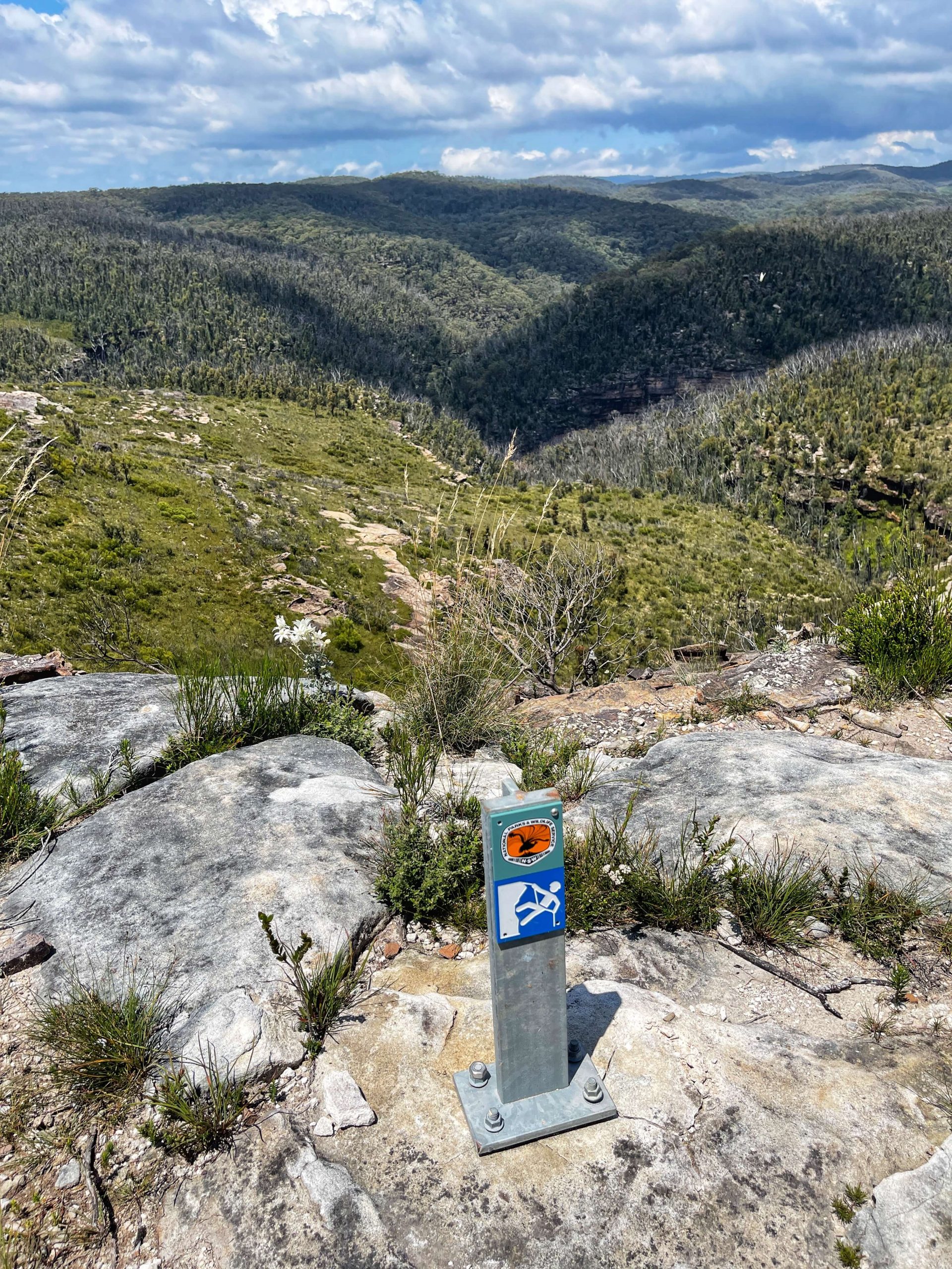
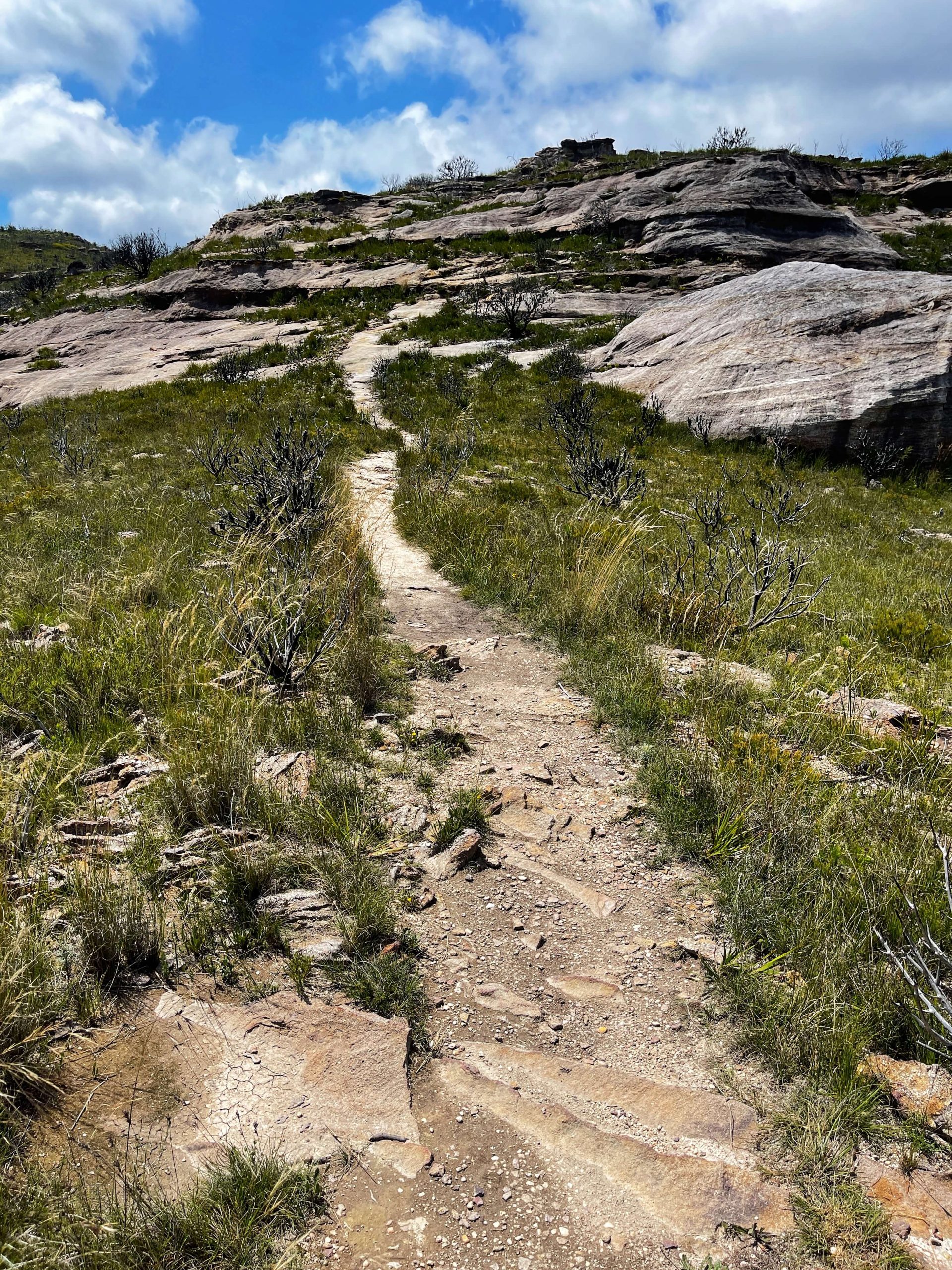
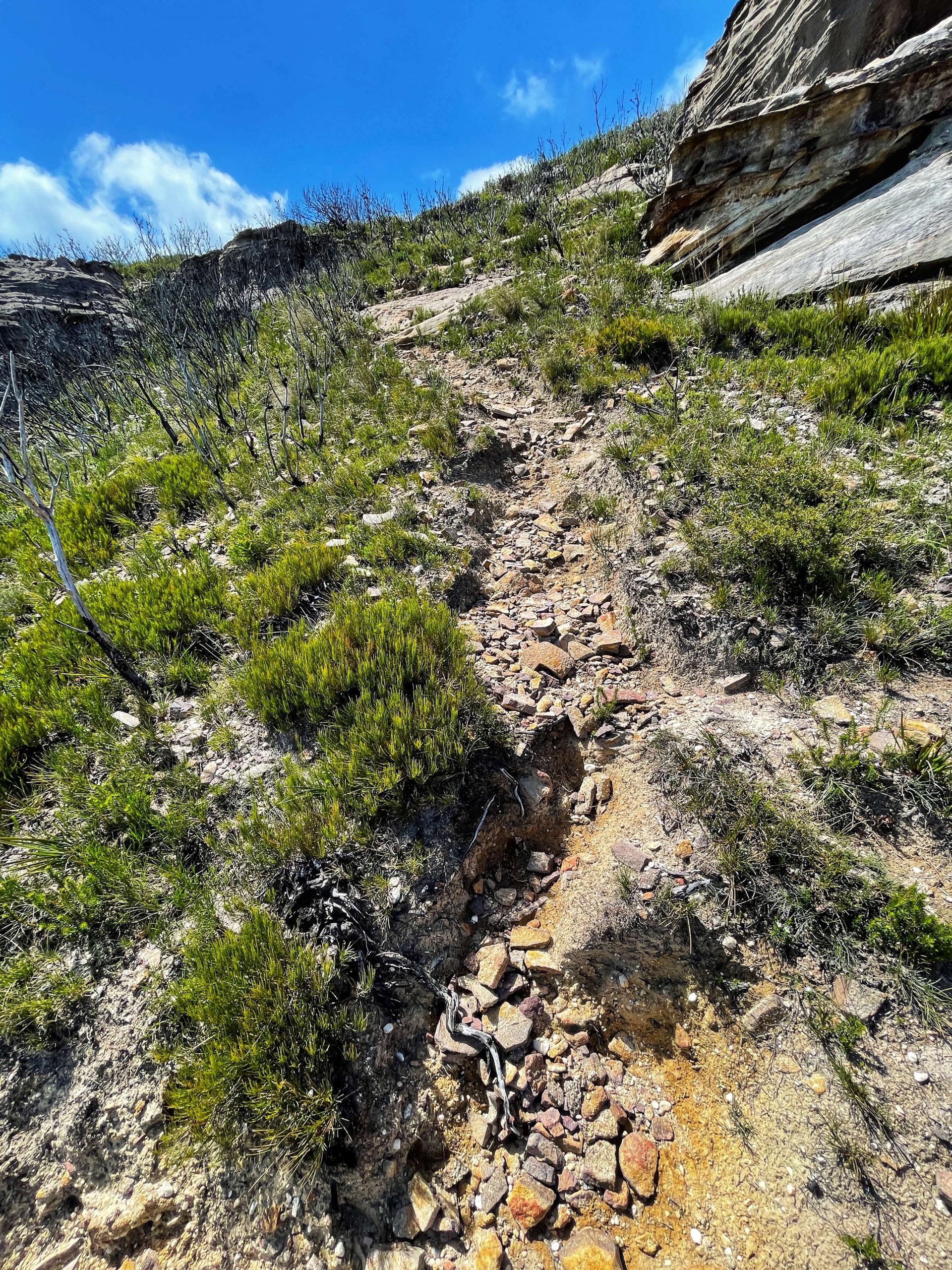
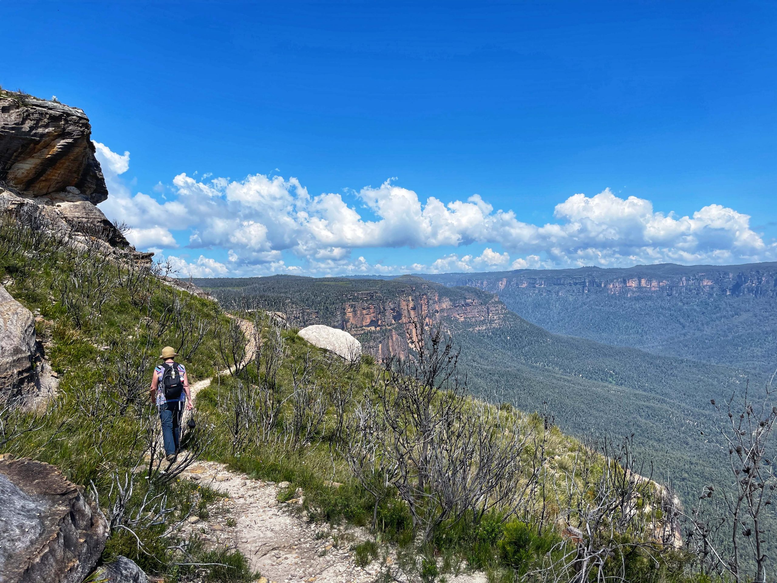
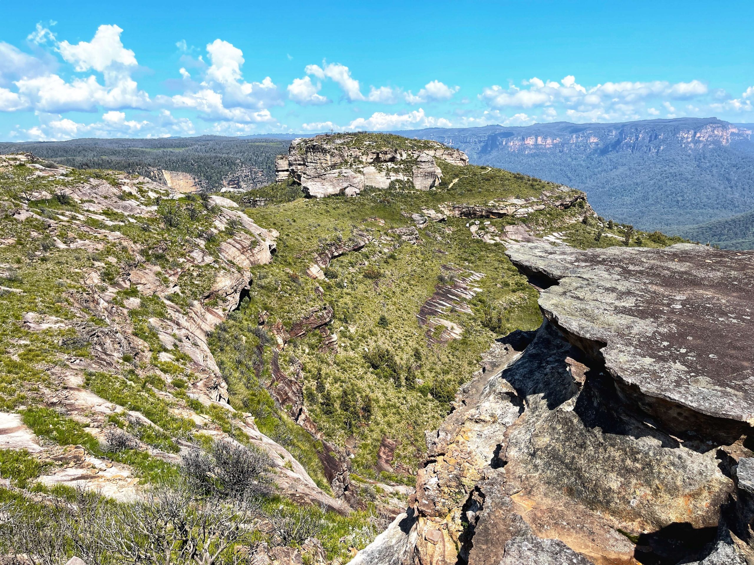
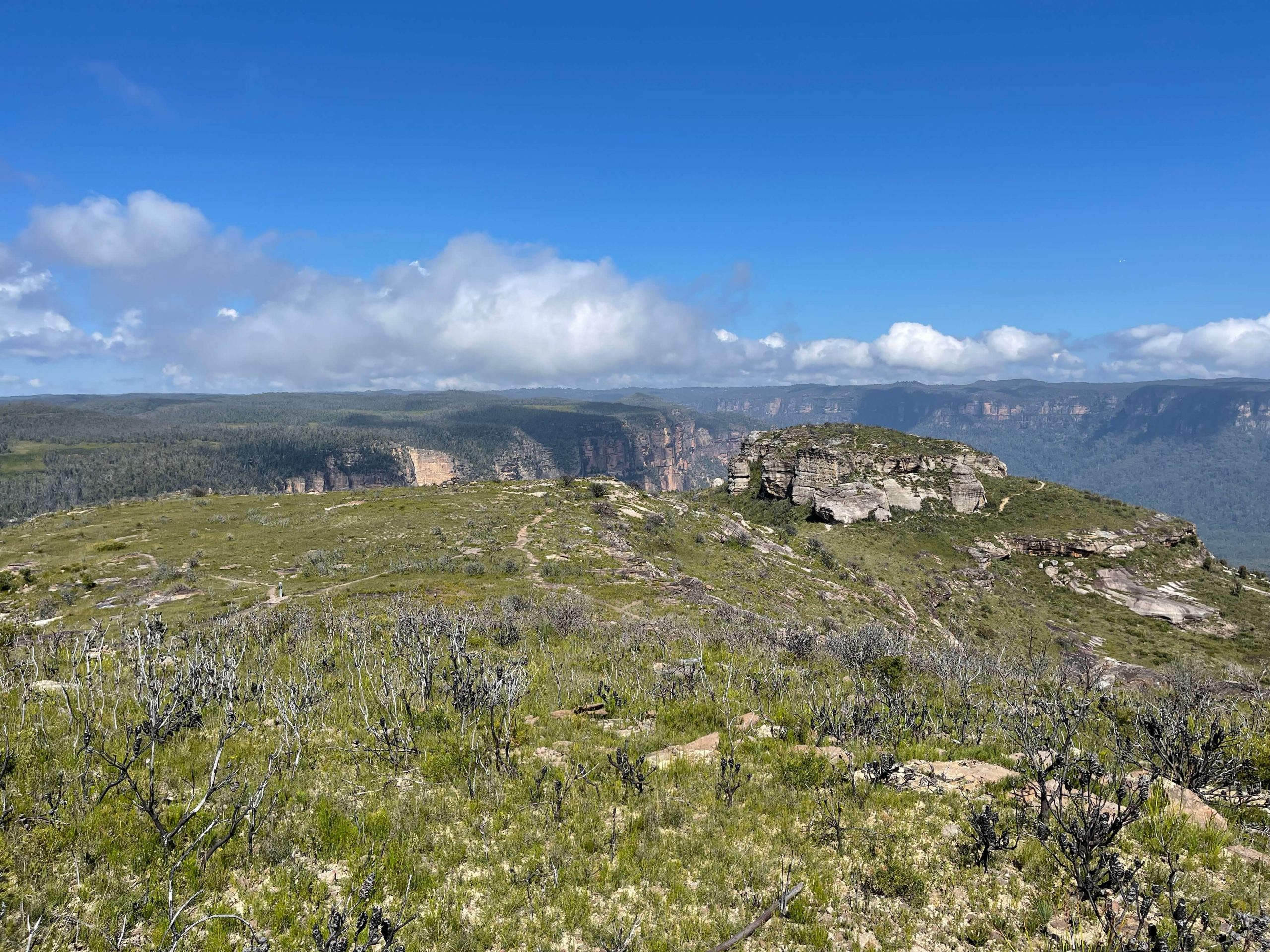
After about 7 mins you’ll get to the signpost to Mount Hay to the right. Take that and almost immediately take the track to the left, up the hill. That will give you some amazing views over the Grose and it eventually swings back onto the main track to Butterbox Point.
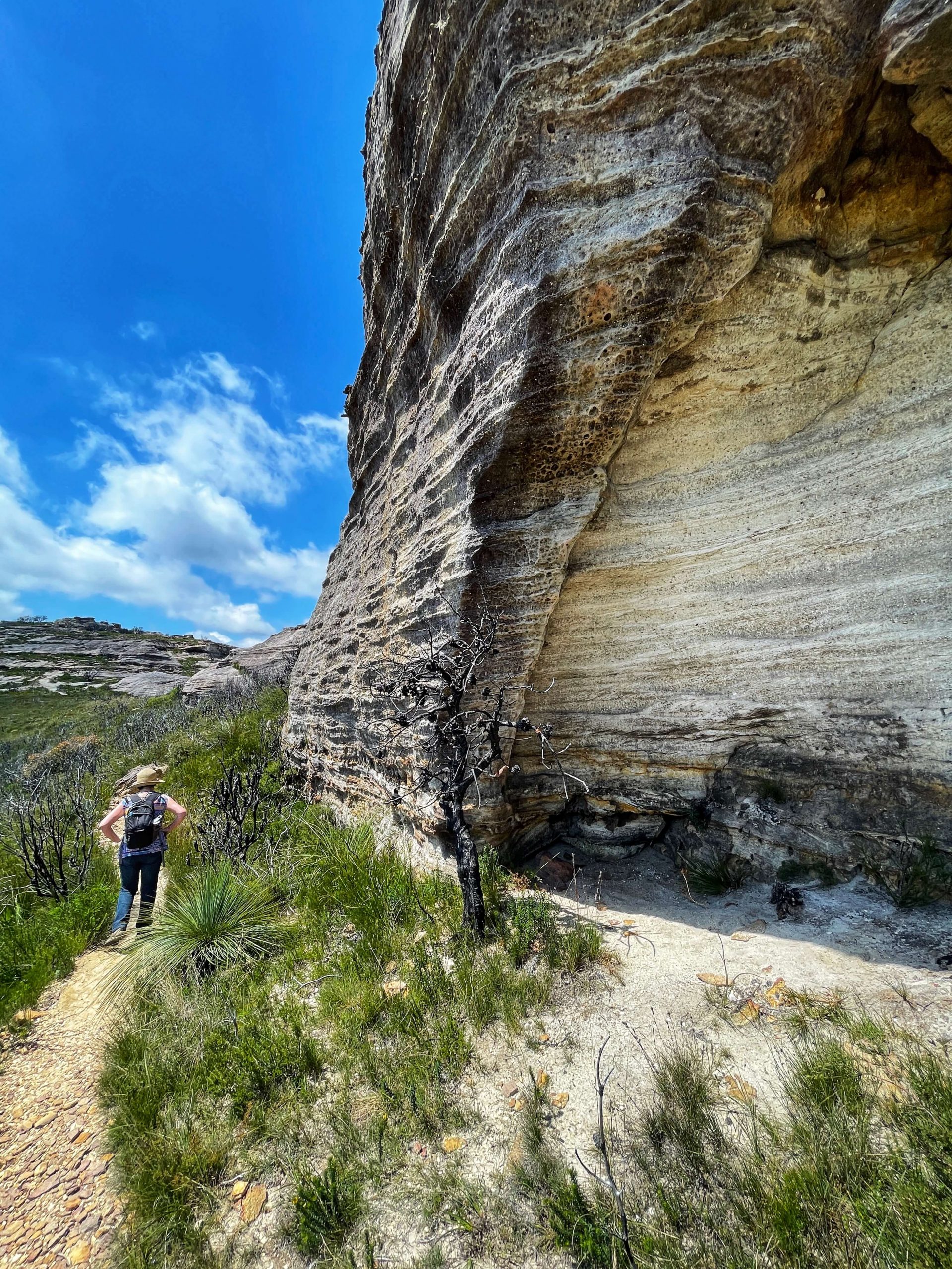
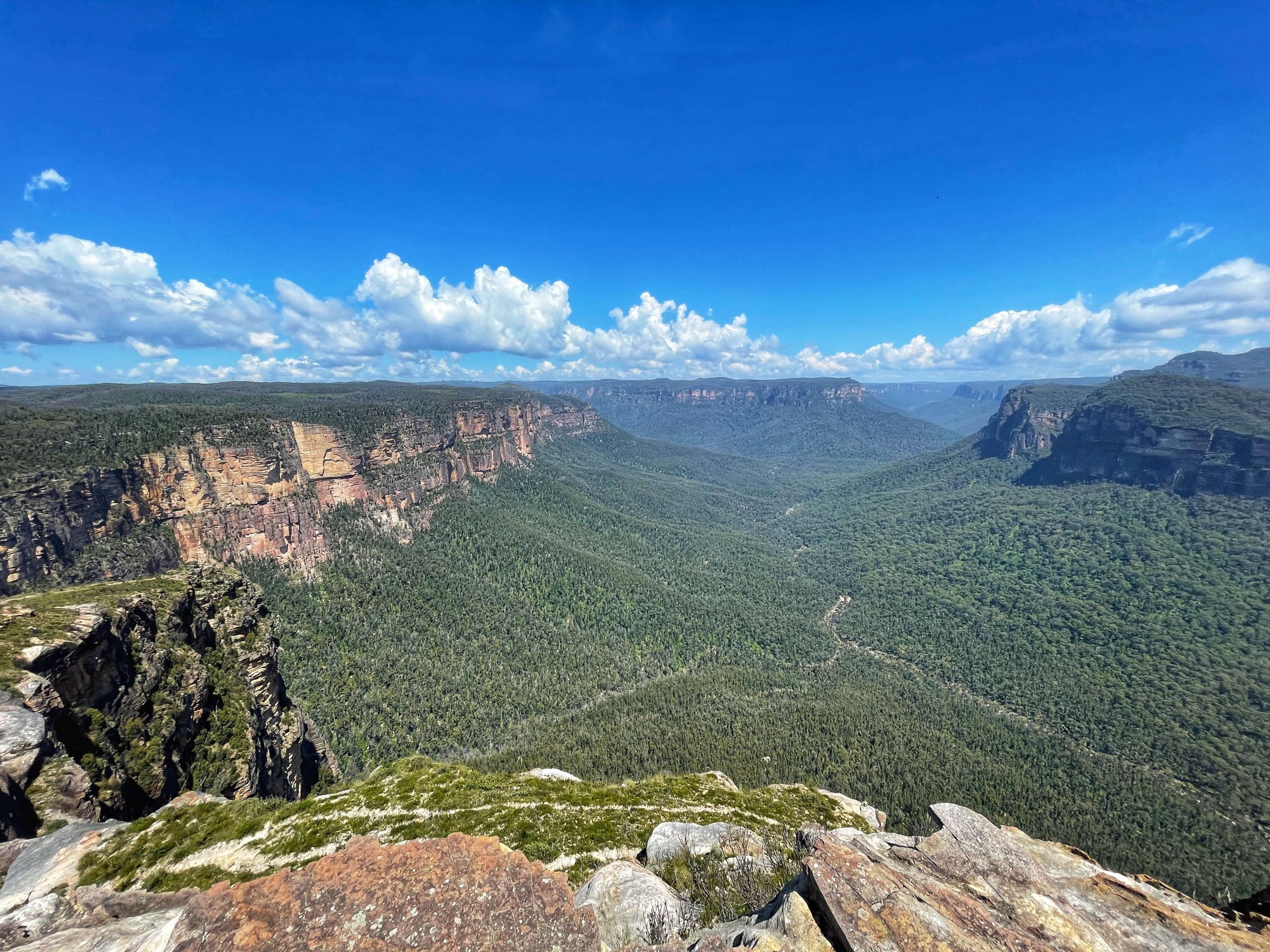
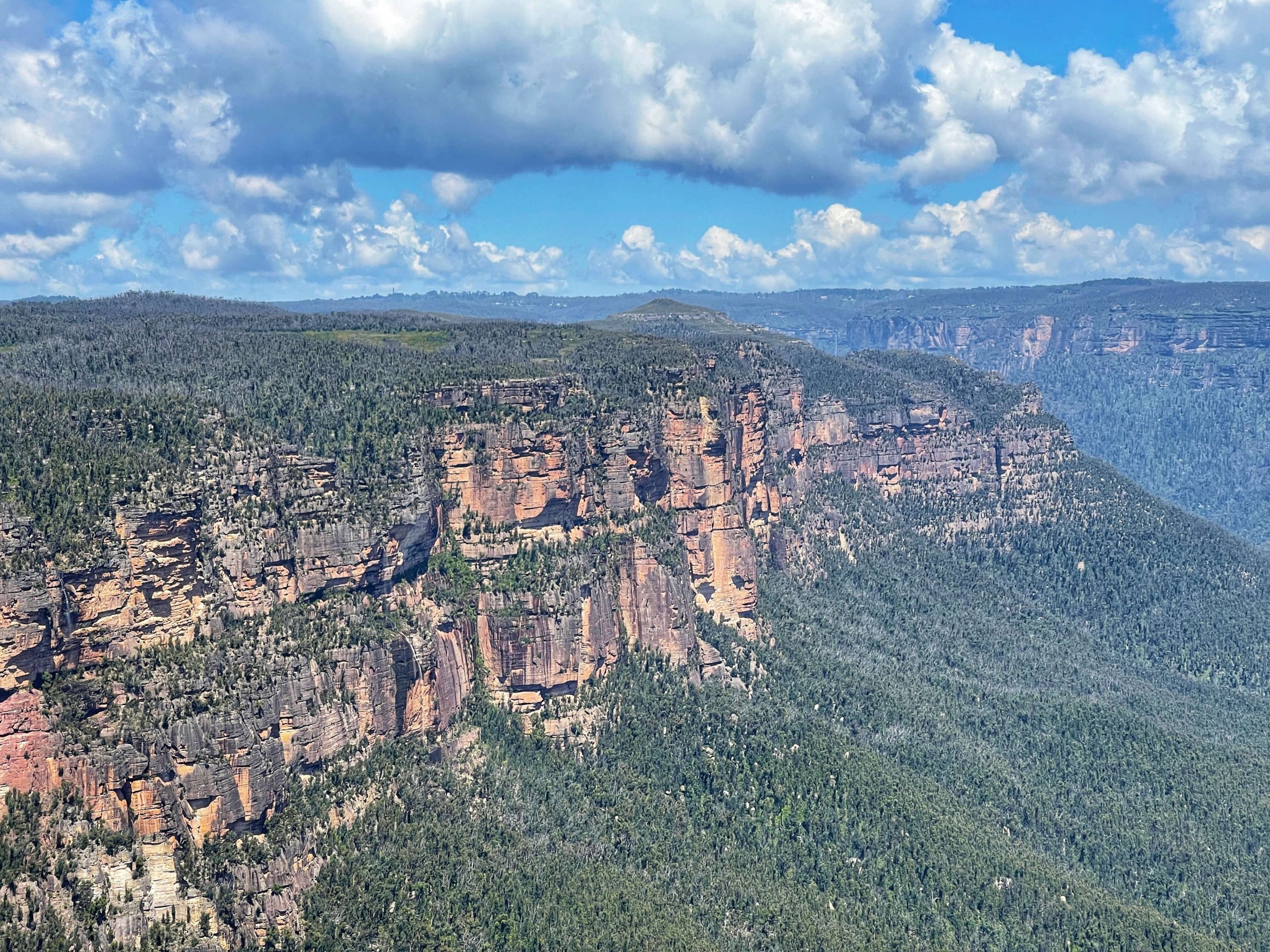
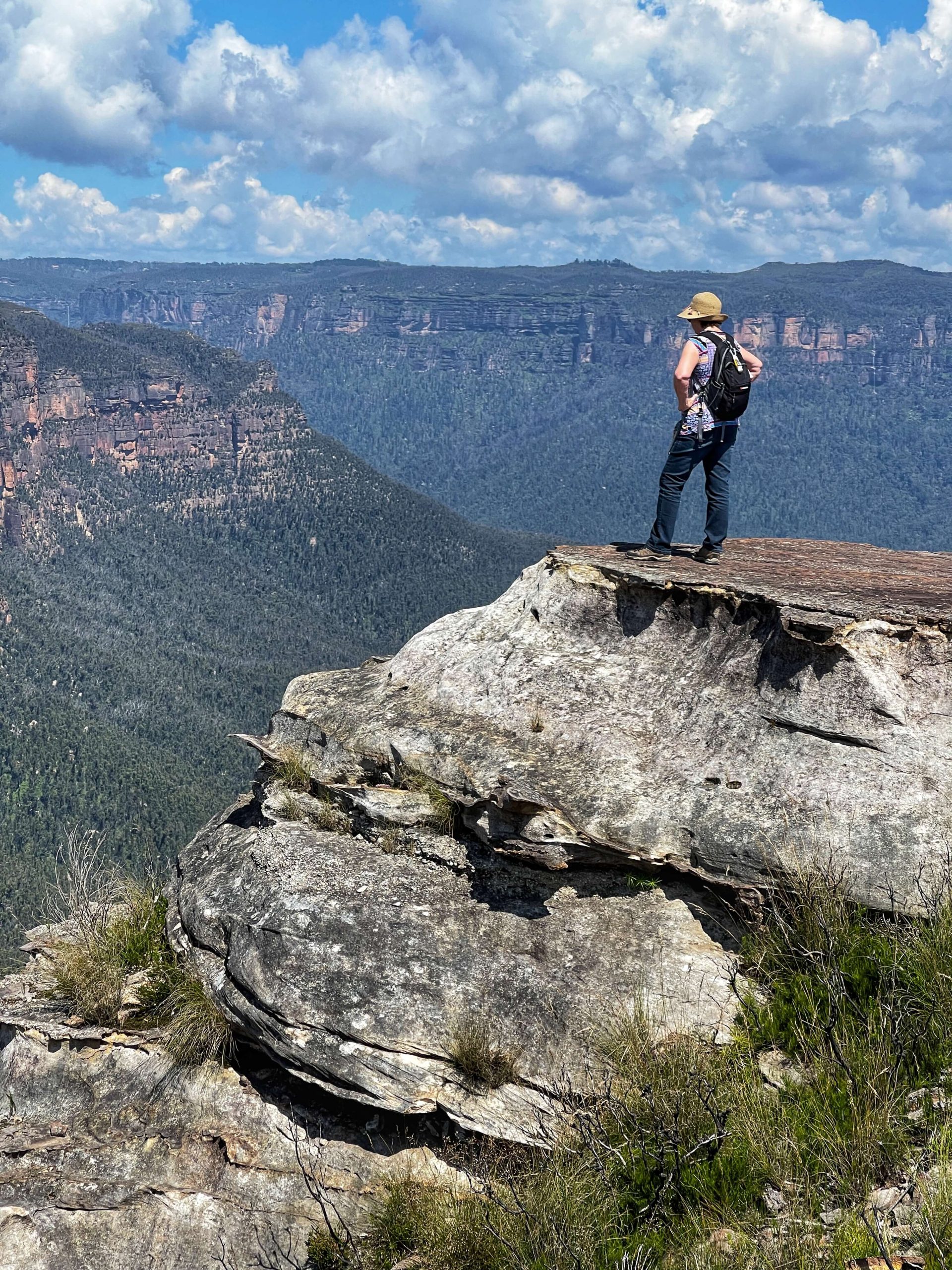
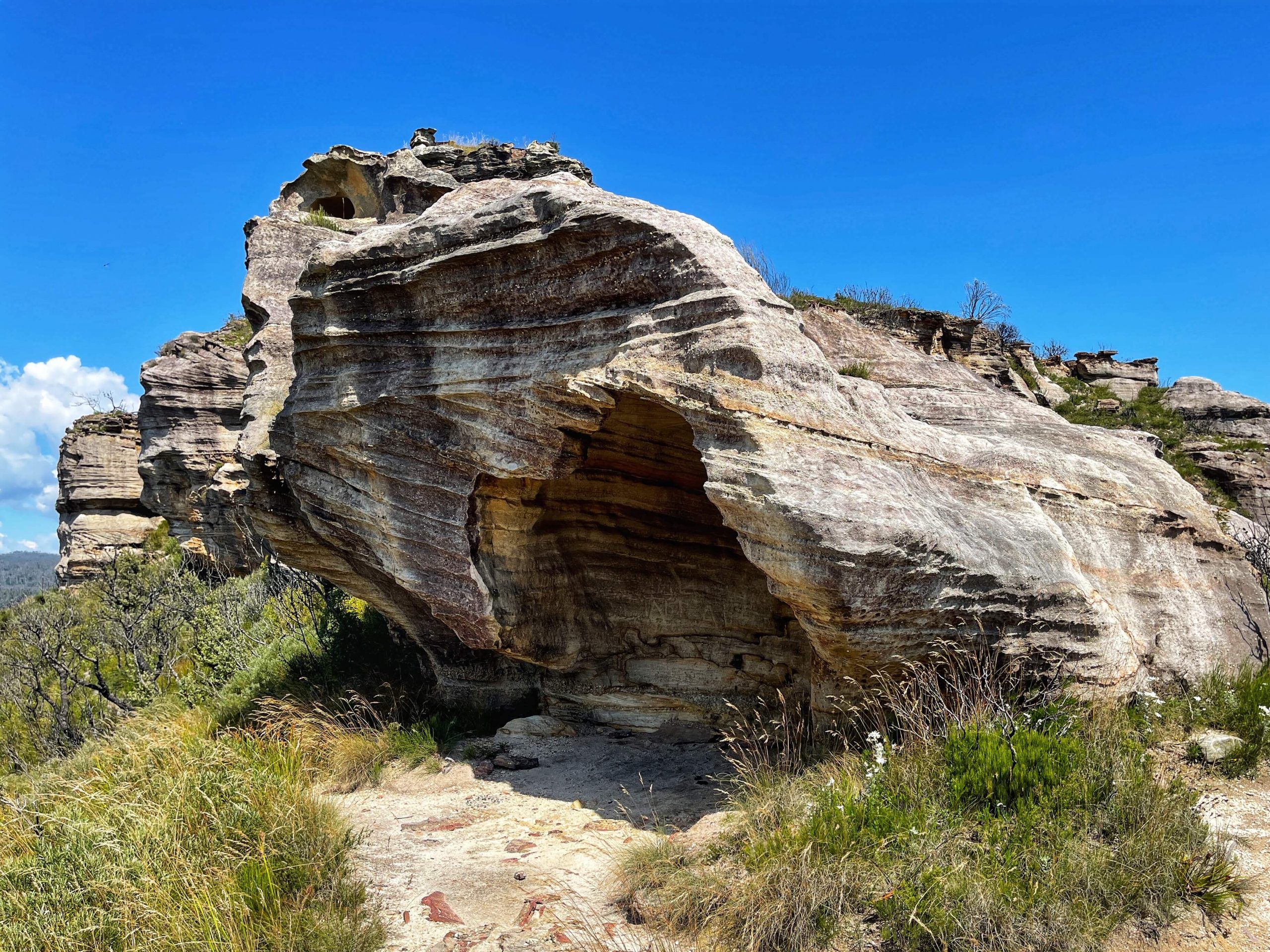
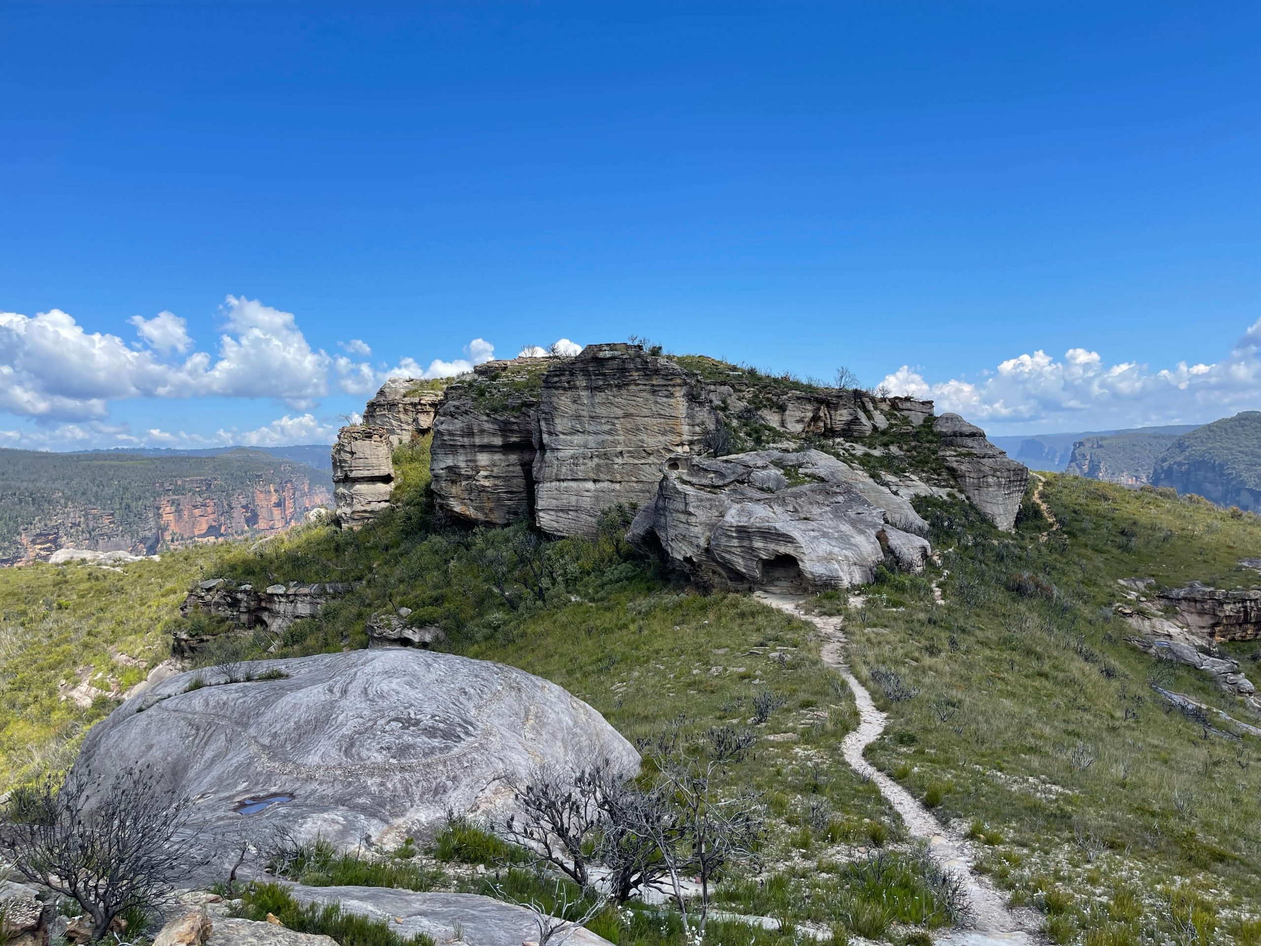
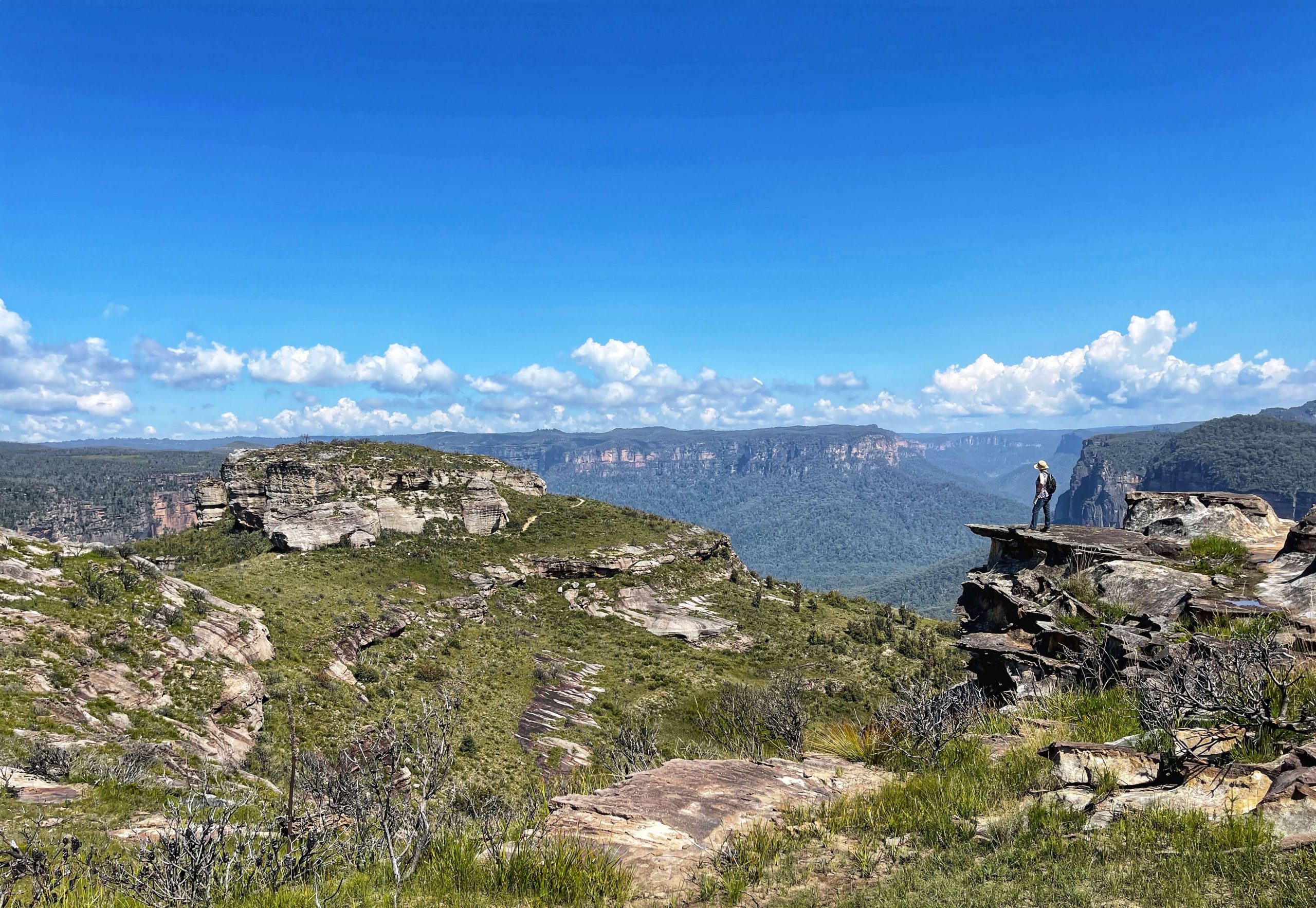
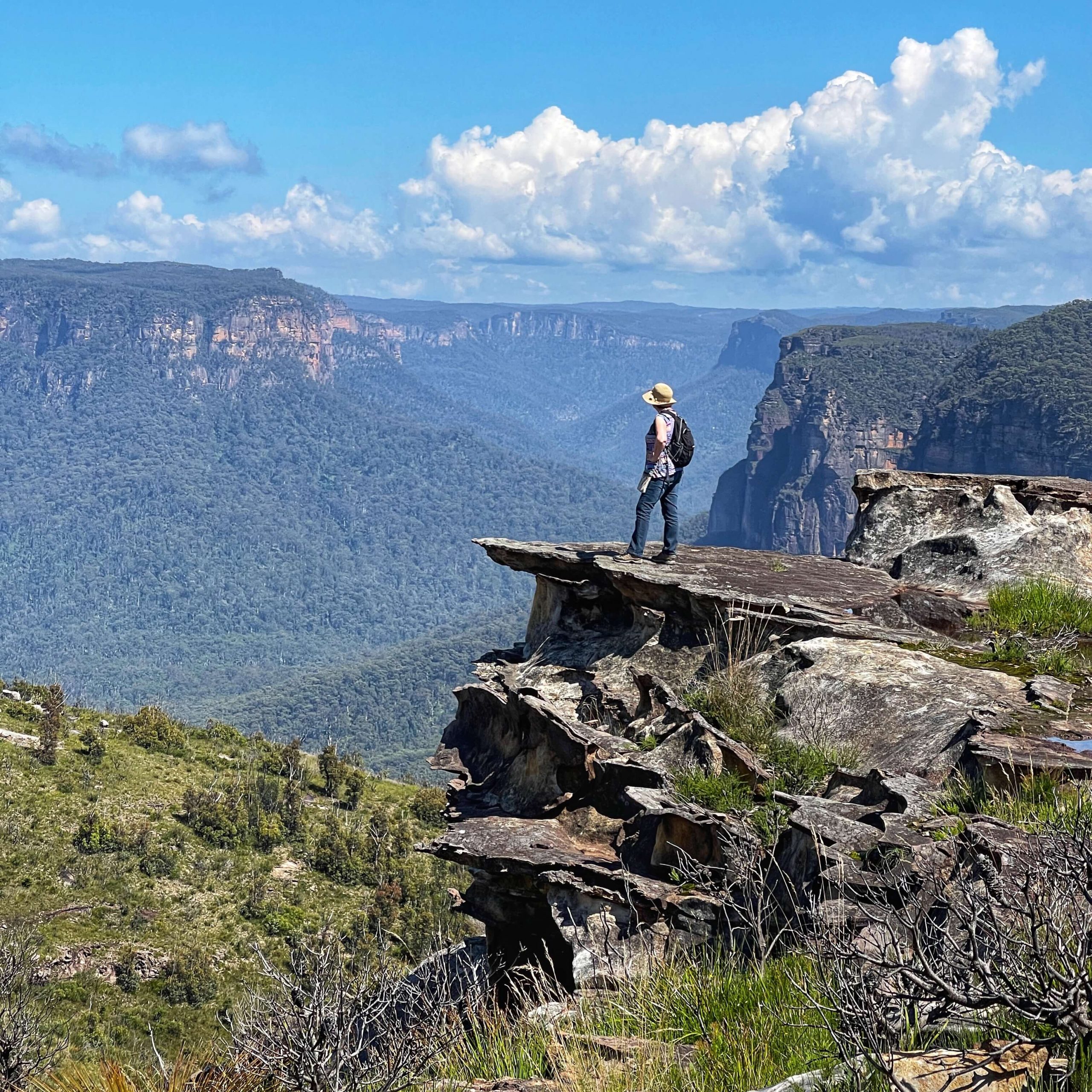
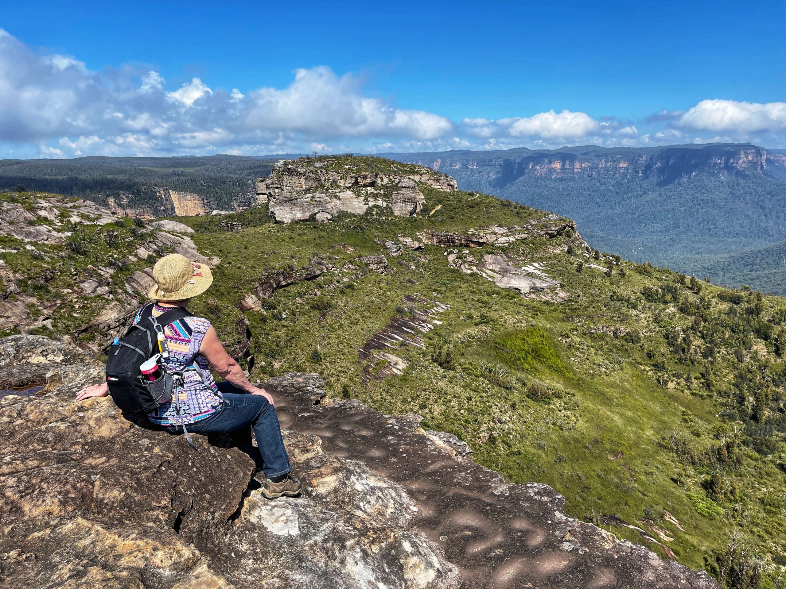
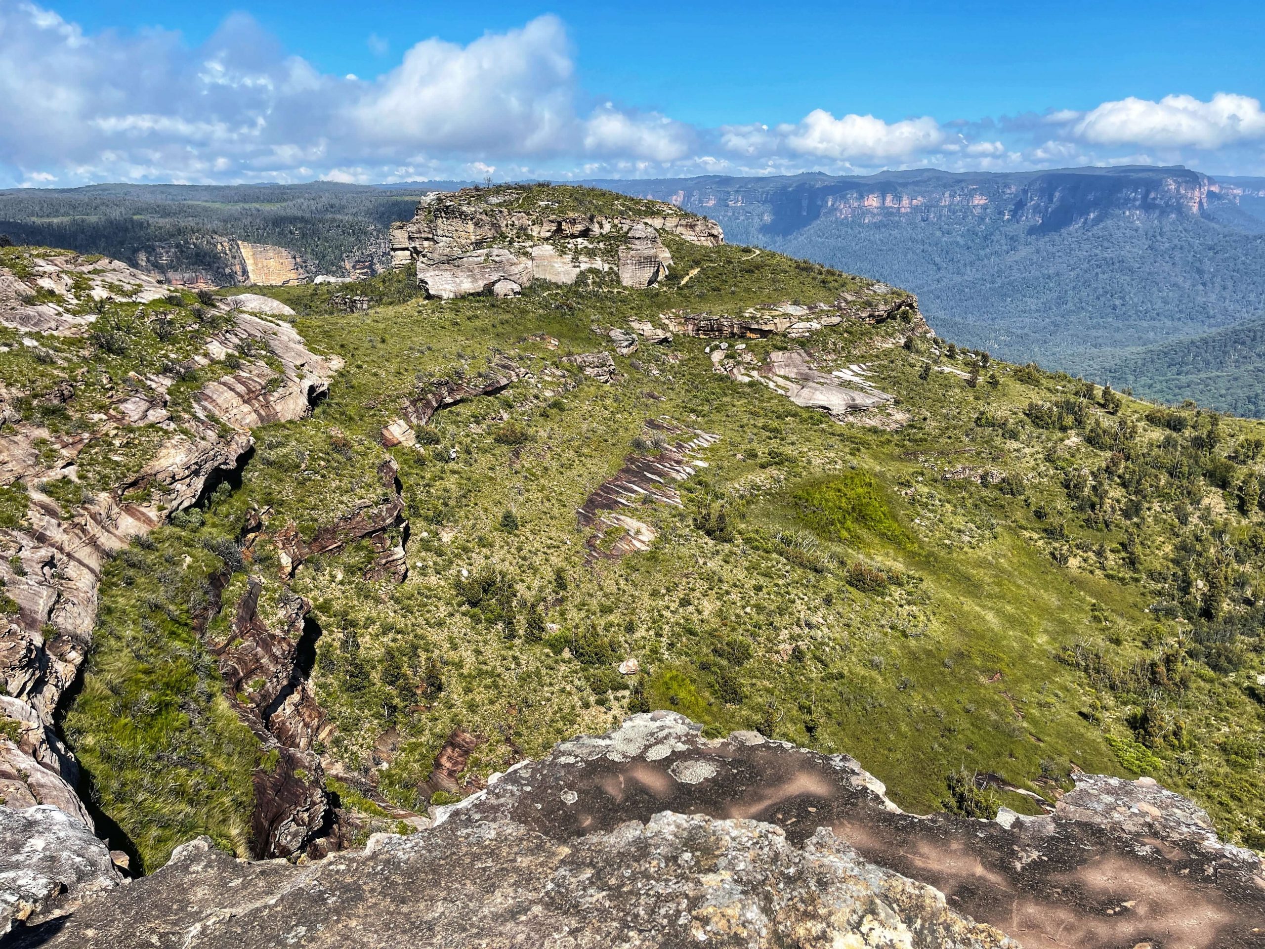
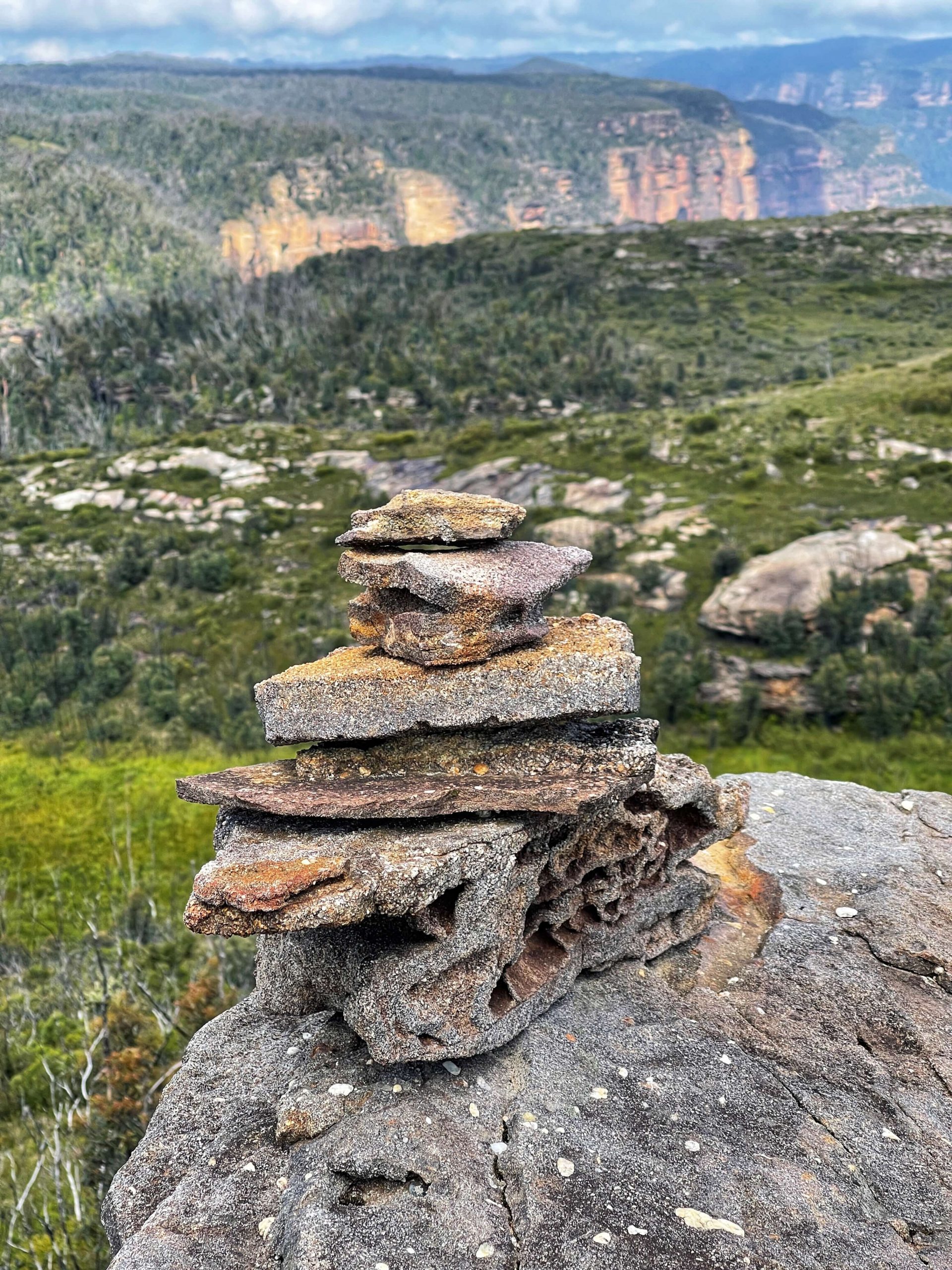
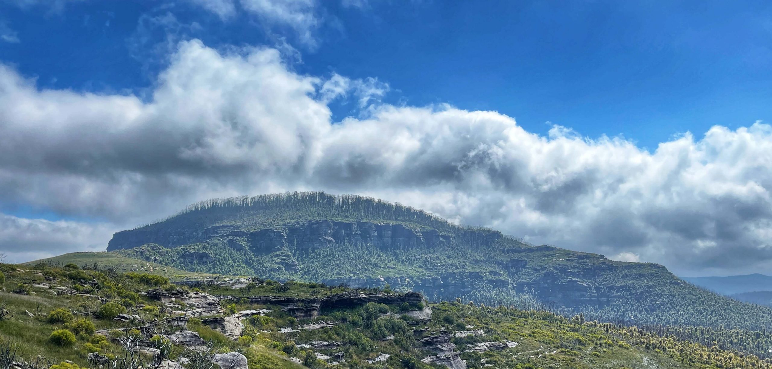
When you get to Butterbox Point follow the track around the rock. There are a couple of scramble tracks up onto the rock. We recommend the 2nd one as it’s the easiest up and down. It’s still a bit of a scramble. Once on the top, enjoy the incredible views and take care near the edges, the first step is a big one.
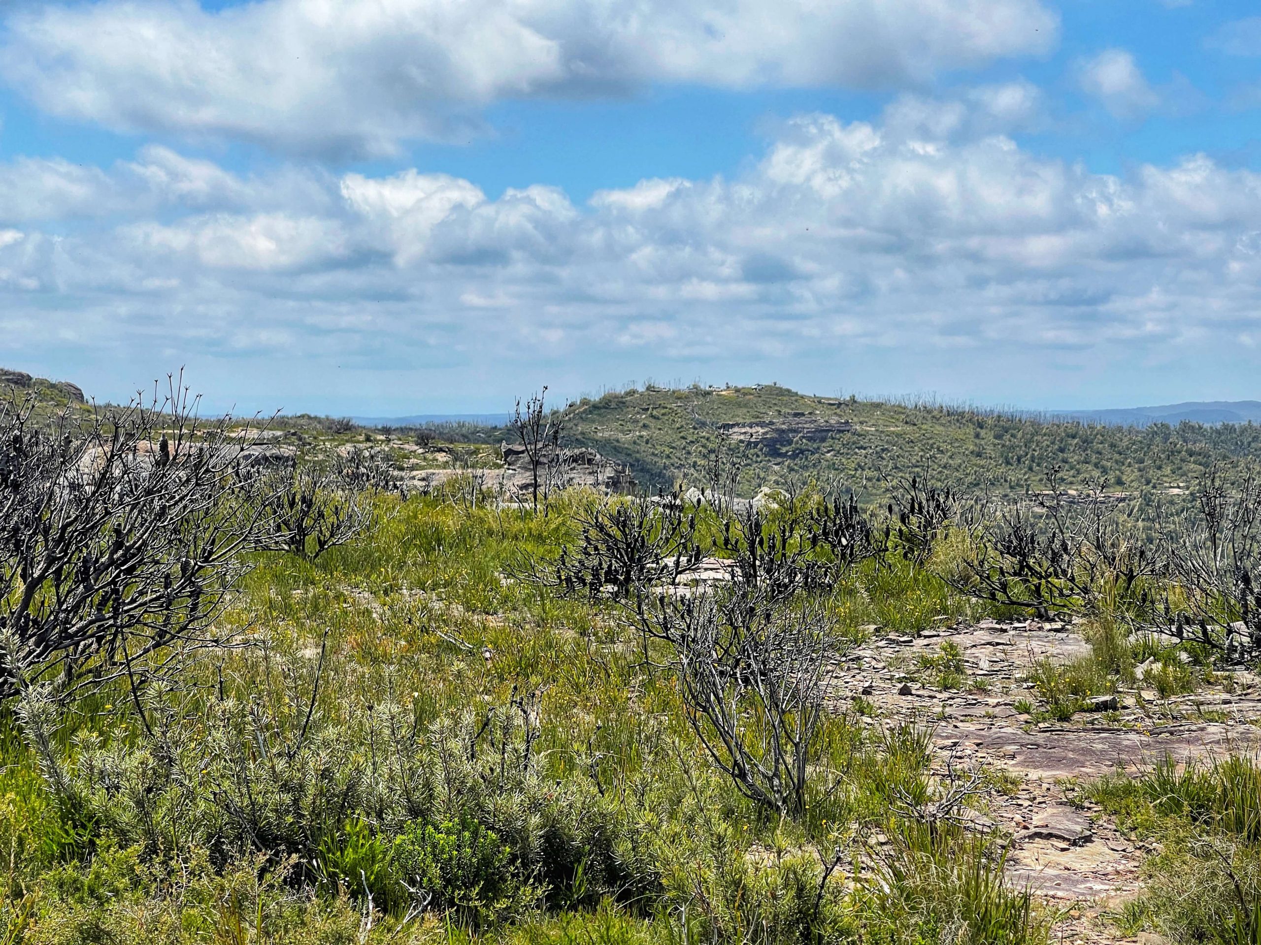
Return the same way OR take the lower track. The lower track is very muddy in places.
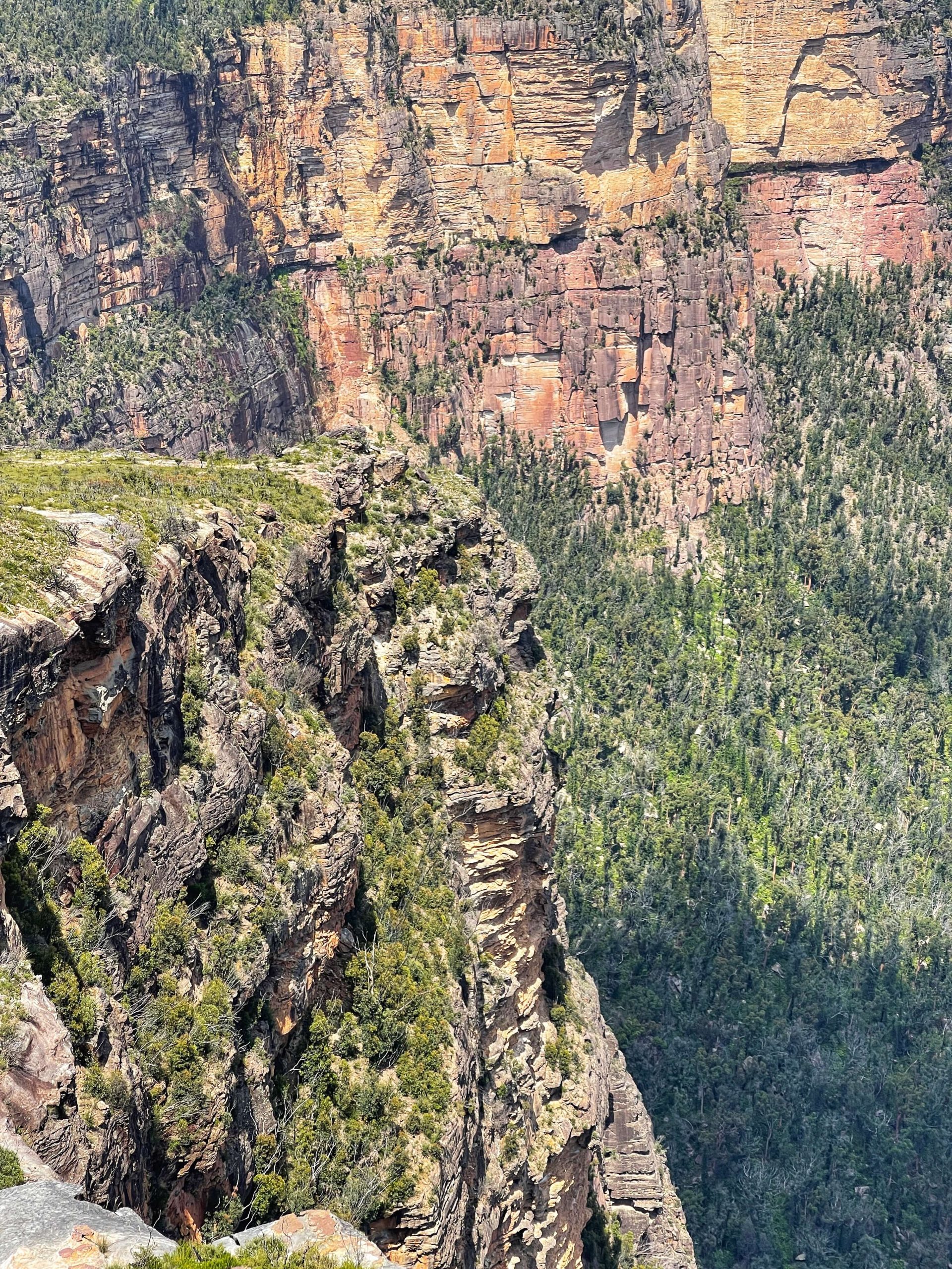
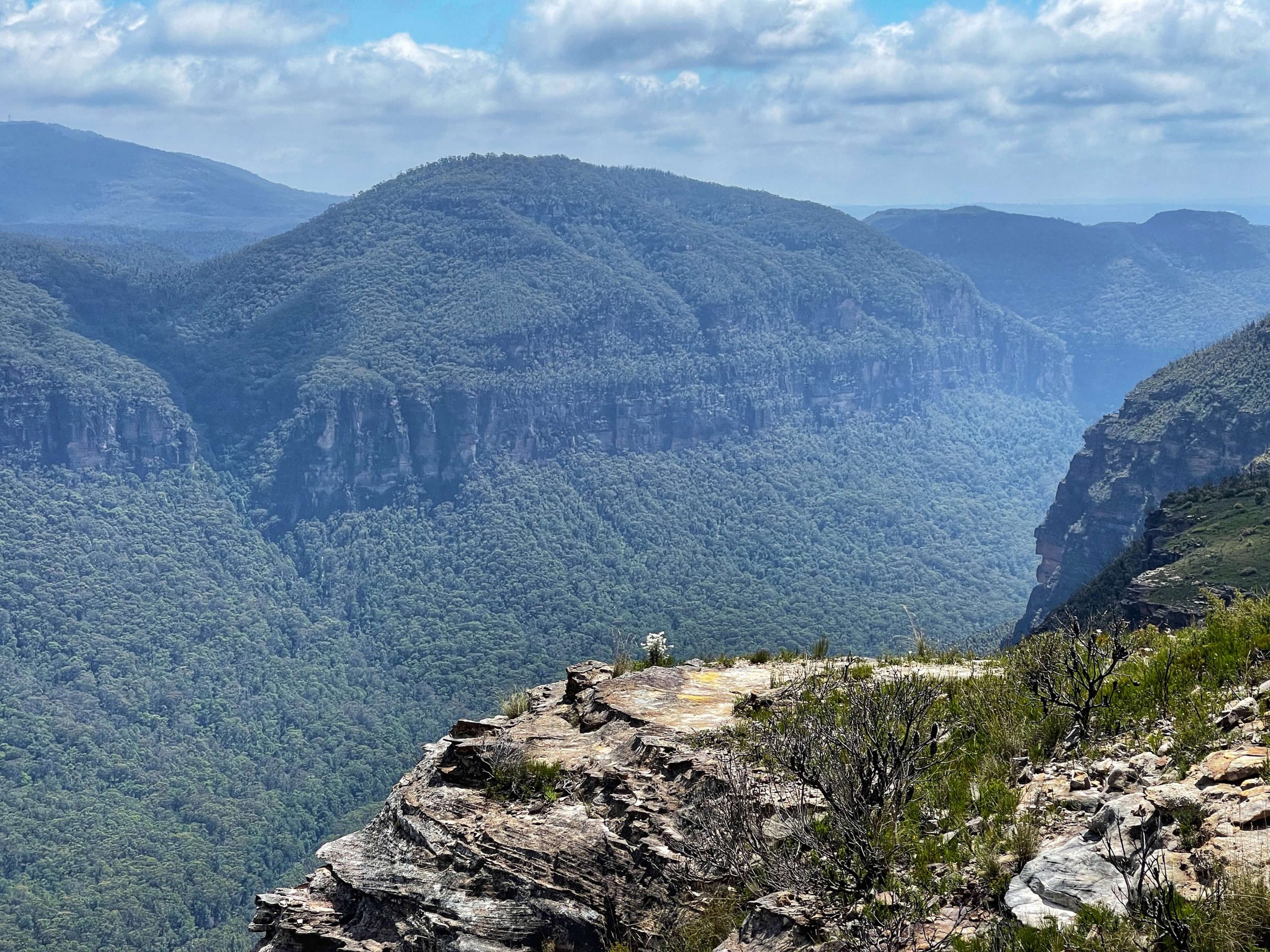
BACKSTORY: Named supposedly due to its almost cubic shape, c1918 by Cyril Beuzeville Byles (1871-1952). Cyril was the signals engineer of NSW Railways, 1911-1929. His daughter Marie was also a very keen bushwalker. From the point, there are spectacular views looking westward up the Grose Valley. The area is also referred to as The Butterbox. Also known as The Fort and Hurley Head. Source: Blue Mountains Geographical Encyclopaedia