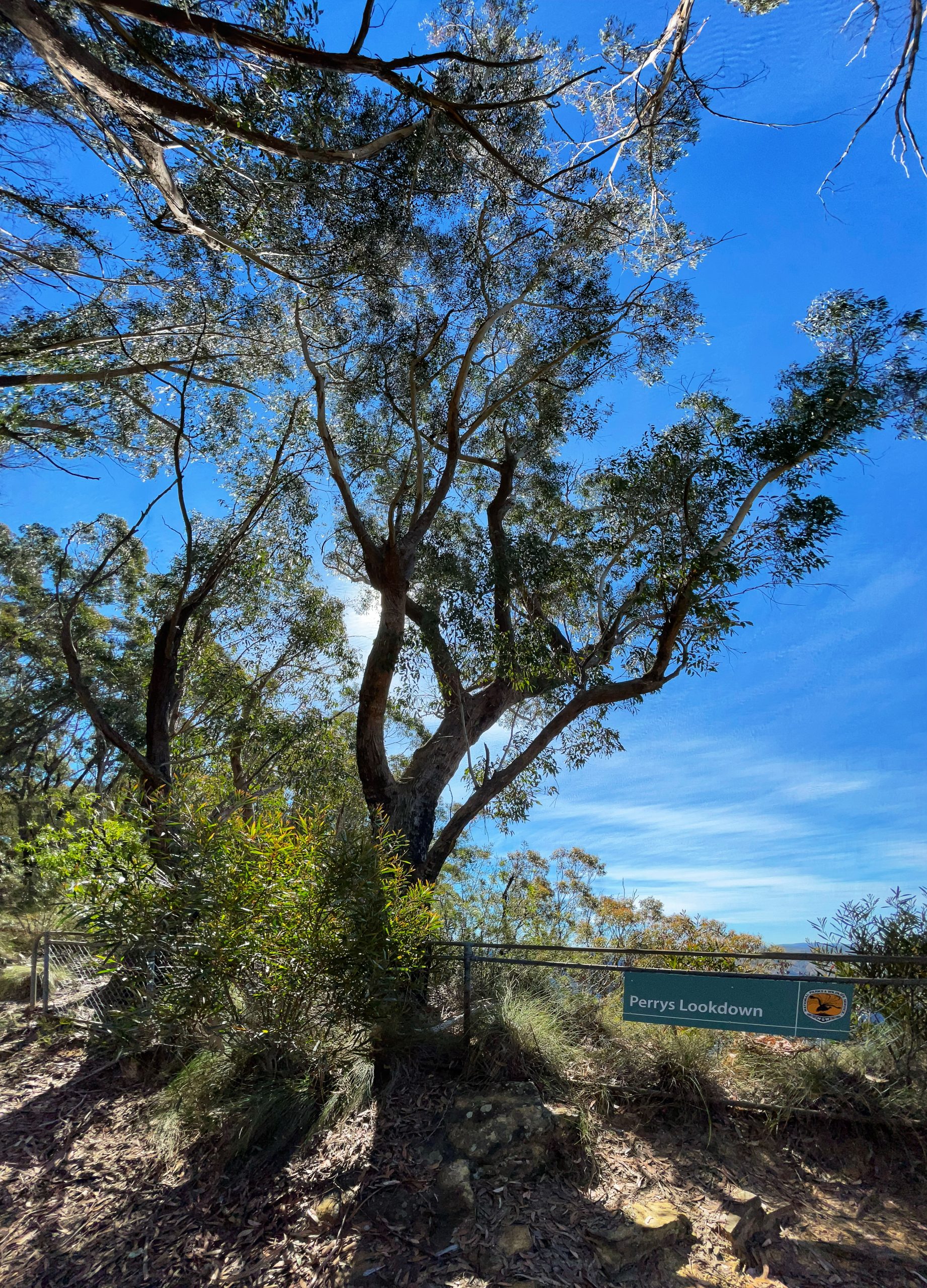
Perrys Lookdown Blackheath
Perrys Lookdown’ refers to a lookout at the top of the escarpment at the end of Hat Hill Road Blackheath. This lookout overlooks the Grose Valley and the Grose River and gives the closest walking access to the Blue Gum Forest. Eccleston Du Faur recorded it on his map, “Tourist Map showing the Great Western Railway of NSW crossing the Blue Mountains from Nepean River to Bowenfells, 1879′ as, “Road to Perry’s Look down and Grose Valley.” The Sydney Mail, 17 May 1879, p. 769 records, “and locally known as Perry’s look-out.” Named after Deputy Surveyor General of NSW Samuel Augustus Perry, (1791-1854). The notes Perry wrote, called ‘Ostracism or Rambling Reminiscences,’ were written on an excursion to the Blue Mountains in 1853. They were transcribed by Thomas Whitley in 1902. The notes record, “Mr Perry’s name like that of Govett also on the survey staff, is localised in the neighbourhood of Blackheath, being conferred upon “Perry’s look down” in a spot commanding a view of much grandeur into the valley of the Grose directly opposite the giant cliffs of Mt King George the full altitude of which is before the eye.”
Ref: Mitchell Library 5822 ‘Ostracism or Rambling Reminiscences.’ Oppenheimer, Jillian. Perry Soldier and Surveyor – Samuel Augustus Perry, 1791-1854, 2009. MW 538 790.
Peter Carroll Field² is a sportsground within Leura Park, corner of Lett and Lovel Streets,
Bath, 1932,
Pulpit Rock,
K 473 703.
Phillips Cre
near Tarpeia
journalist. R
Phillips Lo
1948), Blac
p. 3 records
opened on
“Opening c
Phoenix R
1933, p. 4
Orphan Re
freakish m
Picnic Gl
named Pic
2004, p. 2